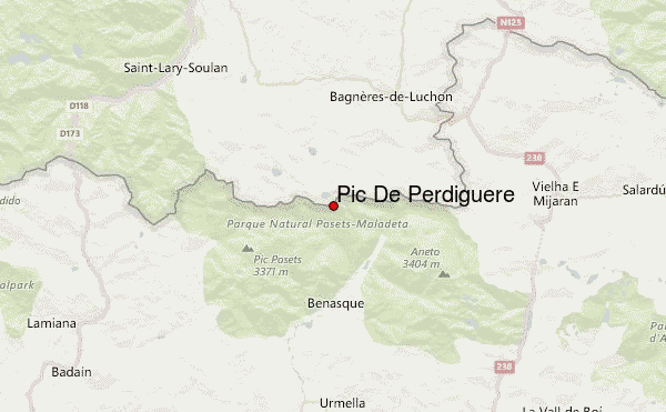
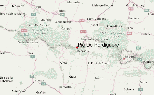
– Lat/Long: 42.69° N 0.52° E
 Pic De Perdiguere – Climbing, Hiking & Mountaineering information

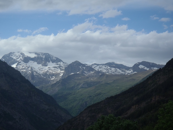
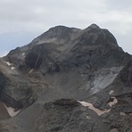
Pic De Perdiguere Guide
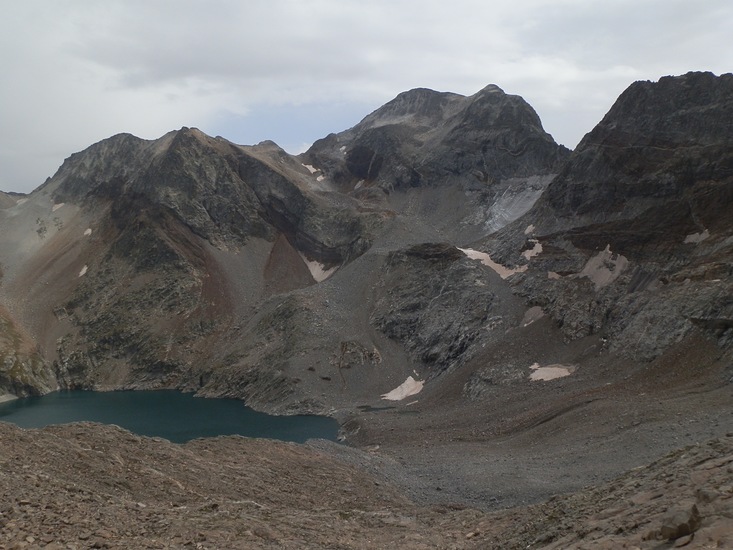
- Elevation: 3222
- Difficulty: Scramble
- Best months to climb: May, June, July, August, September
- Convenient center: Benasque, Luchon
Pic De Perdiguere climbers NotesBe the first to submit your climbers note! Please submit any useful information about climbing Pic De Perdiguere that may be useful to other climbers. Consider things such as access and accommodation at the base of Pic De Perdiguere, as well as the logistics of climbing to the summit. |
| Select a
mountain summit from the menu |
||
|
Select a Mountain Summit
|
||
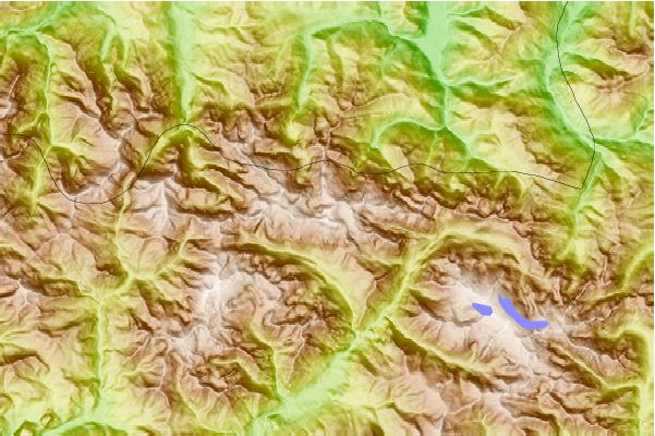
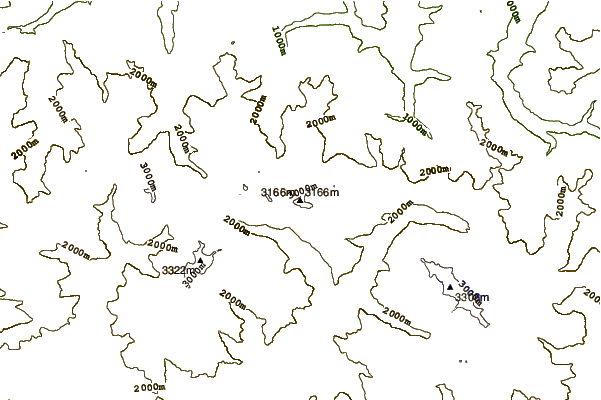
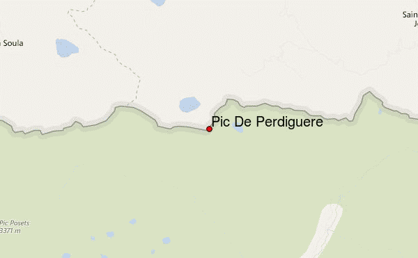
Use this relief map to navigate to mountain peaks in the area of Pic De Perdiguere.
10 other mountain peaks closest to Pic De Perdiguere:
| 1. | Refugio MOLSERET (1920 m) | 2.4 km |
| 2. | Refugio TORMO (1730 m) | 2.8 km |
| 3. | Refugio CANTAL (1930 m) | 3.0 km |
| 4. | Refugio de Estós (1890 m) | 3.3 km |
| 5. | Refugio COMA (1820 m) | 3.5 km |
| 6. | Refugio LLITEROLA (1980 m) | 3.9 km |
| 7. | Refugio BASTIELLES (2000 m) | 4.2 km |
| 8. | Refugio POSETS (2000 m) | 4.3 km |
| 9. | Cabaña de la Coma (1820 m) | 4.8 km |
| 10. | Refugio de Batisielles (2 m) | 4.8 km |