– Lat/Long: 40.53° N 111.70° W
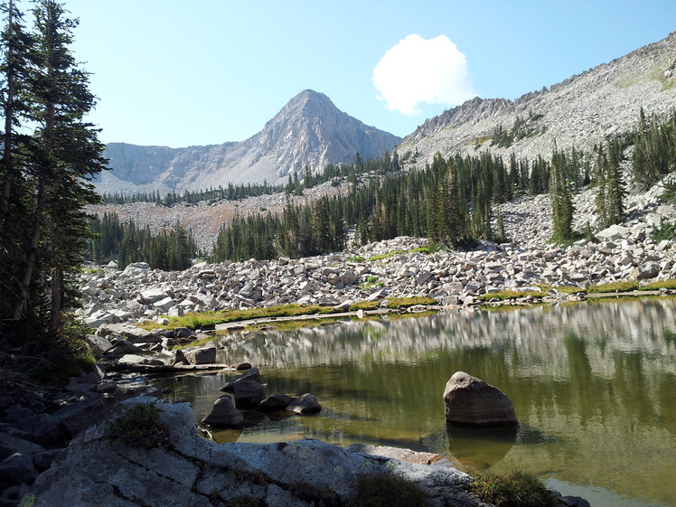
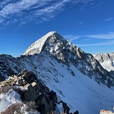
 Pfeifferhorn
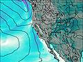
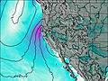
Weather Forecast, United StatesIssued: 5 am Mon 03 Aug Local TimeUpdates in: hr min sUpdate imminent
Issued: 5 am Mon 03 Aug Local Time
Updates in:
Update imminent hr min s

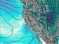
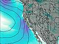
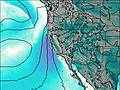
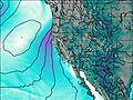
Issued: 5 am Mon 03 Aug Local Time
Updates in:
Update imminent hr min s
Days 1–3 Weather SummaryMostly dry. Warm (max 23°C on Wed afternoon, min 17°C on Mon night). Wind will be generally light. | Days 4–6 Weather SummaryMostly dry. Warm (max 28°C on Fri afternoon, min 21°C on Sat night). Wind will be generally light. | |||||||||||||||||
Monday 3 | Tuesday 4 | Wednesday 5 | Thursday 6 | Friday 7 | Saturday 8 | |||||||||||||
AM | PM | night | AM | PM | night | AM | PM | night | AM | PM | night | AM | PM | night | AM | PM | night | |
clear | clear | clear | clear | clear | clear | clear | clear | clear | clear | clear | clear | clear | clear | clear | some clouds | clear | some clouds | |
Cloud base (m) | 8800 | 6200 | 6250 | |||||||||||||||
km/h | ||||||||||||||||||
 |  |  |  |  |  | |||||||||||||
— | — | — | — | — | — | — | — | — | — | — | — | — | — | — | — | — | — | |
mm | — | — | — | — | — | — | — | — | — | — | — | — | — | — | — | — | — | — |
max °C | 21 | 22 | 19 | 20 | 21 | 19 | 22 | 23 | 21 | 24 | 26 | 23 | 26 | 28 | 25 | 26 | 27 | 24 |
min °C | 19 | 22 | 17 | 19 | 21 | 17 | 19 | 23 | 20 | 22 | 25 | 22 | 24 | 27 | 22 | 24 | 27 | 21 |
chill °C | 19 | 22 | 17 | 19 | 21 | 17 | 19 | 23 | 20 | 22 | 25 | 22 | 24 | 27 | 22 | 24 | 27 | 21 |
Freezing level m | 5200 | 5250 | 5150 | 5100 | 5200 | 5150 | 5150 | 5350 | 5350 | 5350 | 5450 | 5550 | 5500 | 5550 | 5600 | 5450 | 5550 | 5500 |
6:24 | — | — | 6:26 | — | — | 6:26 | — | — | 6:28 | — | — | 6:28 | — | — | 6:30 | — | — | |
— | 8:38 | — | — | 8:37 | — | — | 8:37 | — | — | 8:36 | — | — | 8:35 | — | — | 8:34 | — | |
Loading...
Pfeifferhorn Weather (Days 0-3):
The weather forecast for Pfeifferhorn is: Mostly dry. Warm (max 23°C on Wed afternoon, min 17°C on Mon night). Wind will be generally light.
Pfeifferhorn Weather (Days 3-6):
Mostly dry. Warm (max 28°C on Fri afternoon, min 21°C on Sat night). Wind will be generally light.
This table gives the weather forecast for Pfeifferhorn at the specific elevation of 2500 m. Our advanced weather models allow us to provide distinct weather forecasts for several elevations of Pfeifferhorn. To see the weather forecasts for the other elevations, use the tab navigation above the table. For a wider overview of the weather, consult the Weather Map of Utah.
Pfeifferhorn Photos
View all
Wasatch Range photos (13) |
Rocky Mountains (USA) photos (298) |
photos from mountains in United States (3056) |
all photos
 Upload new photo
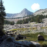
Mt. Pfeifferhorn
Winter Ascent