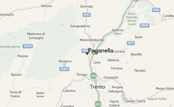
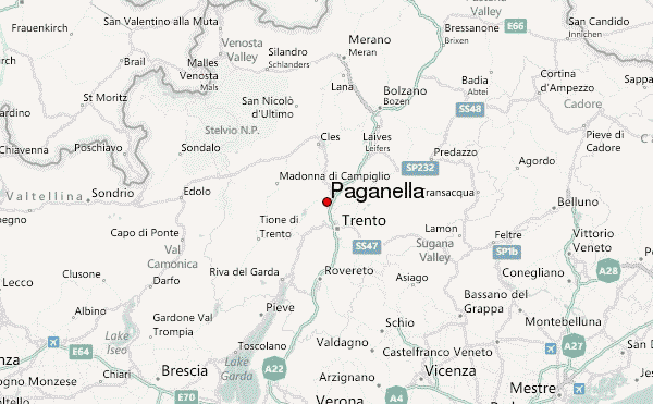
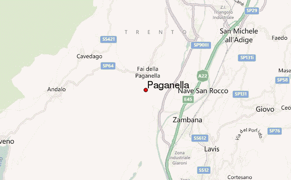
– Lat/Long: 46.17° N 11.07° E
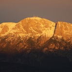
 Paganella – Climbing, Hiking & Mountaineering information

Paganella Guide
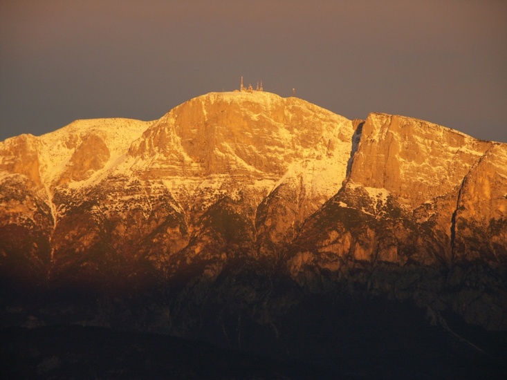
- Elevation: 1533
- Difficulty: -
- Best months to climb: -
- Convenient center: -
Paganella climbers NotesBe the first to submit your climbers note! Please submit any useful information about climbing Paganella that may be useful to other climbers. Consider things such as access and accommodation at the base of Paganella, as well as the logistics of climbing to the summit. |
| Select a
mountain summit from the menu |
||
|
Select a Mountain Summit
|
||
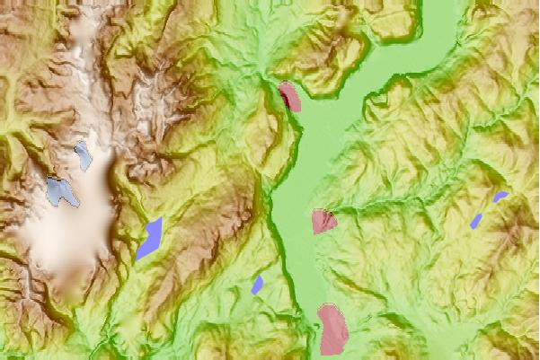
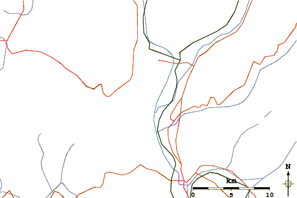
Use this relief map to navigate to mountain peaks in the area of Paganella.
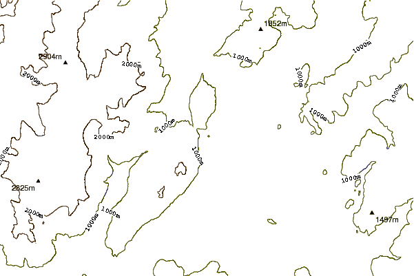
10 other mountain peaks closest to Paganella:
| 1. | Fai ZONE (1506 m) | 1.4 km |
| 2. | Andalo ZONE (2092 m) | 4.2 km |
| 3. | Bivacco Malga Dosson (2360 m) | 4.2 km |
| 4. | Dolomiti Paganella Bike (2111 m) | 6.0 km |
| 5. | Molveno ZONE (2397 m) | 8.6 km |
| 6. | Capanna Rododendro (1557 m) | 9.4 km |
| 7. | Capanna Maderlina (1030 m) | 9.6 km |
| 8. | Selvata Mountain Hut (1663 m) | 10.9 km |
| 9. | Pedrotti Mountain Hut (2491 m) | 13.0 km |
| 10. | Campanile Basso or Guglia di Brenta (2877 m) | 13.3 km |