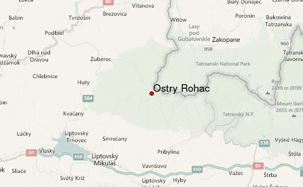
– Lat/Long: 49.20° N 19.75° E
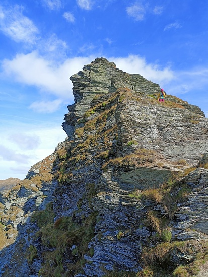
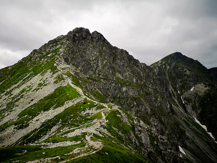
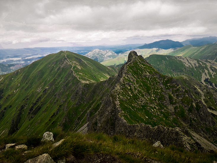
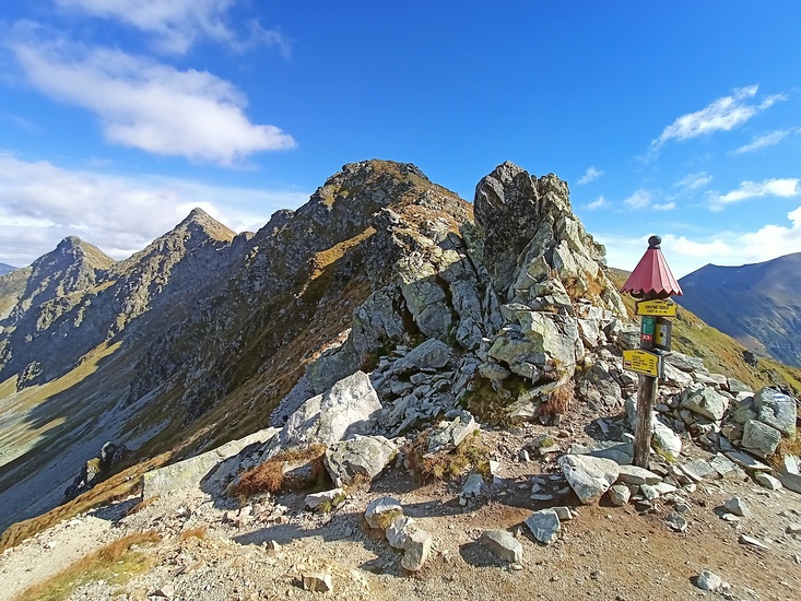
 Ostry Rohac – Climbing, Hiking & Mountaineering information

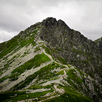
Ostry Rohac Guide
- Elevation: 2087
- Difficulty: Scramble
- Best months to climb: June, July, August, September, October
- Convenient center: liptovsky mikukas
Ostry Rohac climbers Notes
|
| Select a
mountain summit from the menu |
||
|
Select a Mountain Summit
|
||
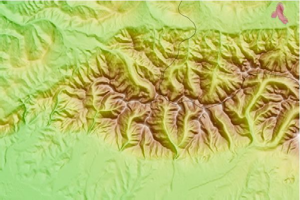
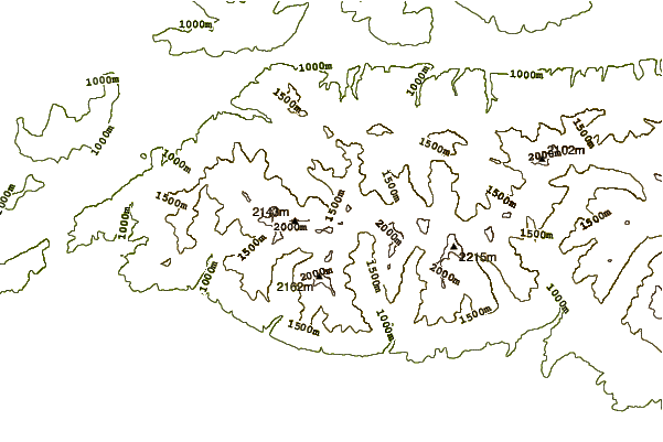
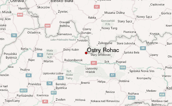
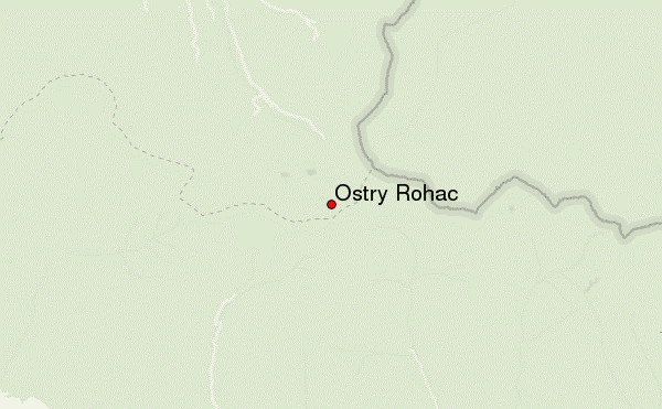
Use this relief map to navigate to mountain peaks in the area of Ostry Rohac.
10 other mountain peaks closest to Ostry Rohac:
| 1. | Volovec (Tatra) (2063 m) | 1.2 km |
| 2. | Baníkov (2178 m) | 2.8 km |
| 3. | Baranec (2184 m) | 3.0 km |
| 4. | Žiarska chata (1295 m) | 3.1 km |
| 5. | Schronisko na Polanie Chochołowskiej (1146 m) | 4.9 km |
| 6. | Chata Zverovka (1037 m) | 6.1 km |
| 7. | Chata pod Náružím (1420 m) | 8.2 km |
| 8. | Schronisko na Hali Ornak (1100 m) | 8.5 km |
| 9. | Chata Oravice (812 m) | 11.1 km |
| 10. | Giewont (1909 m) | 14.4 km |