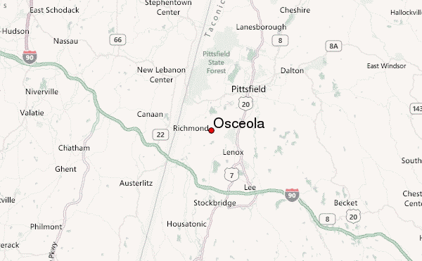
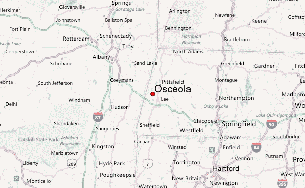
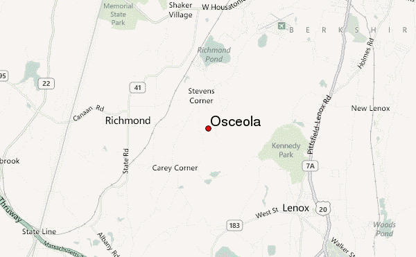
– Lat/Long: 42.39° N 73.33° W
 Osceola – Climbing, Hiking & Mountaineering information

Osceola Guide
- Elevation: 1323
- Difficulty: Walk up
- Best months to climb: June, July, August, September
- Convenient center: Waterville Valley
Osceola climbers NotesBe the first to submit your climbers note! Please submit any useful information about climbing Osceola that may be useful to other climbers. Consider things such as access and accommodation at the base of Osceola, as well as the logistics of climbing to the summit. |
| Select a
mountain summit from the menu |
||
|
Select a Mountain Summit
|
||
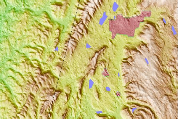
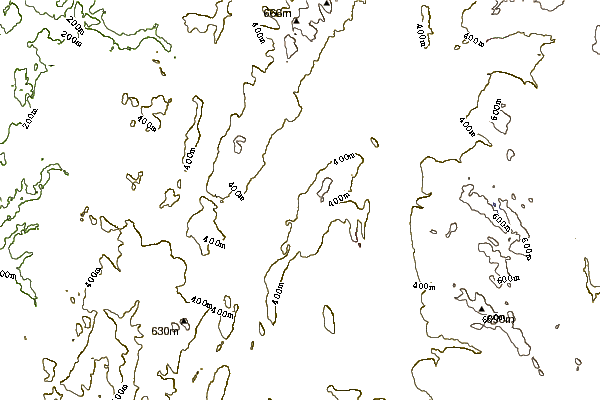
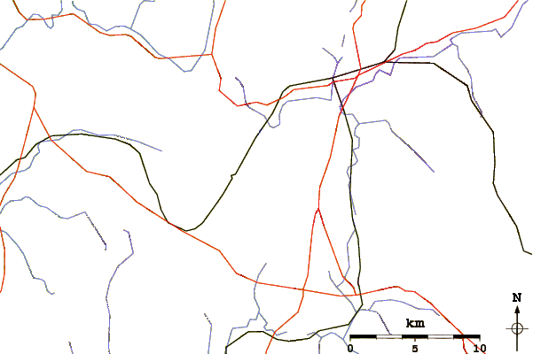
Use this relief map to navigate to mountain peaks in the area of Osceola.
10 other mountain peaks closest to Osceola:
| 1. | Shaker Mountain (559 m) | 6.5 km |
| 2. | Holy Mount (600 m) | 7.4 km |
| 3. | Doll Mountain (588 m) | 8.2 km |
| 4. | Smith Mountain (Taconic Mountains) (661 m) | 10.6 km |
| 5. | Pine Mountain (Taconic Mountains) (677 m) | 11.8 km |
| 6. | Tower Mountain (Massachusetts) (668 m) | 12.3 km |
| 7. | Berry Mountain (671 m) | 12.8 km |
| 8. | Berry Hill (Taconic Mountains) (671 m) | 13.5 km |
| 9. | Honwee Mountain (705 m) | 13.8 km |
| 10. | Monument Mountain (Berkshire County, Massachusetts) (530 m) | 14.6 km |