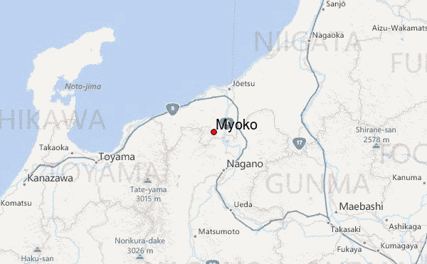
– Lat/Long: 36.89° N 138.11° E
 Myoko – Climbing, Hiking & Mountaineering information

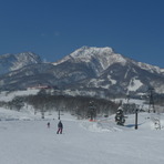
Myoko Guide
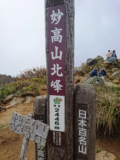
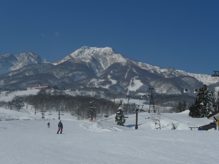
- Elevation: 2446
- Difficulty: -
- Best months to climb: -
- Convenient center: -
Myoko climbers NotesBe the first to submit your climbers note! Please submit any useful information about climbing Myoko that may be useful to other climbers. Consider things such as access and accommodation at the base of Myoko, as well as the logistics of climbing to the summit. |
| Select a
mountain summit from the menu |
||
|
Select a Mountain Summit
|
||
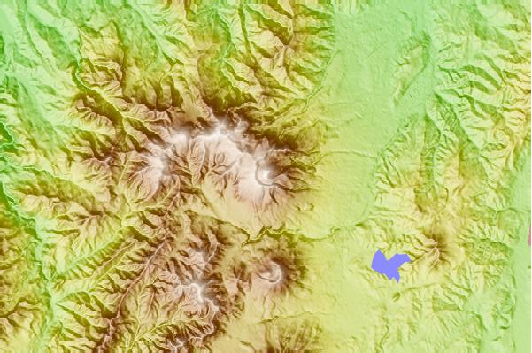
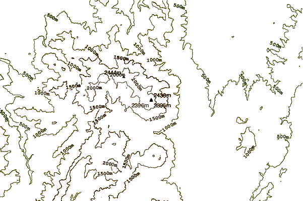
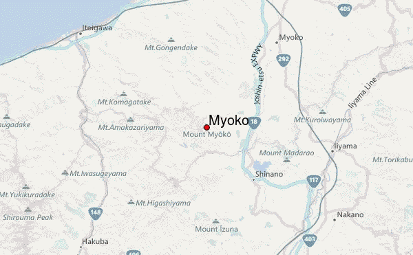
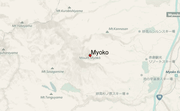
Use this relief map to navigate to mountain peaks in the area of Myoko.
10 other mountain peaks closest to Myoko:
| 1. | Mount Hiuchi (2462 m) | 5.4 km |
| 2. | Niigata-yake-yama (2400 m) | 8.1 km |
| 3. | Kurohime (2053 m) | 10.2 km |
| 4. | Iizuna (1917 m) | 17.9 km |
| 5. | 朝日小屋 (1786 m) | 26.1 km |
| 6. | 村営栂池山荘 (1850 m) | 29.3 km |
| 7. | 猿倉荘 (1853 m) | 29.3 km |
| 8. | 山小屋祖母谷温泉 (1472 m) | 29.4 km |
| 9. | Hakuba Iwatake MTB Park (1280 m) | 30.4 km |
| 10. | 天狗山荘 (2379 m) | 30.6 km |