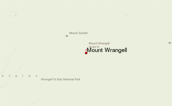
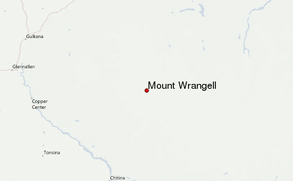
– Lat/Long: 62.00° N 144.02° W
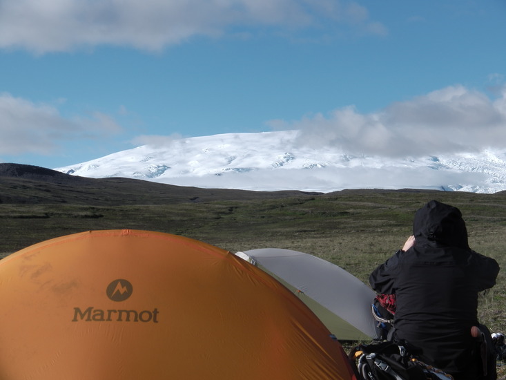
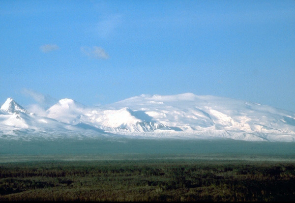
 Mount Wrangell – Climbing, Hiking & Mountaineering information

Mount Wrangell Guide
- Elevation: 4317
- Difficulty: Major Mountain Expedition
- Best months to climb: June, July, August
- Convenient center: Copper Center or Chitina,, Alaska
Mount Wrangell climbers NotesBe the first to submit your climbers note! Please submit any useful information about climbing Mount Wrangell that may be useful to other climbers. Consider things such as access and accommodation at the base of Mount Wrangell, as well as the logistics of climbing to the summit. |
| Select a
mountain summit from the menu |
||
|
Select a Mountain Summit
|
||
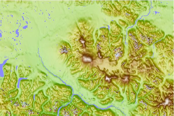
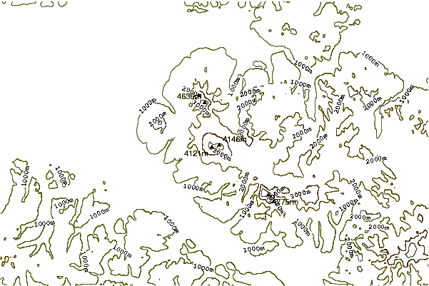
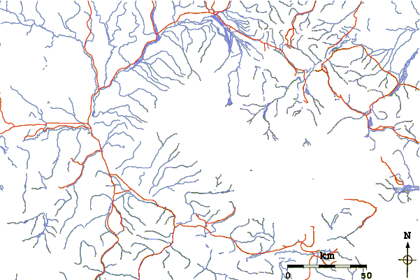
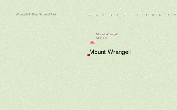
Use this relief map to navigate to mountain peaks in the area of Mount Wrangell.
10 other mountain peaks closest to Mount Wrangell:
| 1. | Mount Gordon (2755 m) | 18.5 km |
| 2. | Mount Jarvis (4091 m) | 21.3 km |
| 3. | Mount Sanford (4949 m) | 25.1 km |
| 4. | Mt Drum (3661 m) | 34.7 km |
| 5. | Mount Blackburn (4996 m) | 42.9 km |
| 6. | Atna Peaks (4224 m) | 49.5 km |
| 7. | Castle Peak (3105 m) | 54.1 km |
| 8. | Regal Mountain (4220 m) | 67.0 km |
| 9. | Mount Mend Carp (1807 m) | 80.0 km |
| 10. | Aello Peak (4403 m) | 132.0 km |