Ernie Olson from CANADA writes:
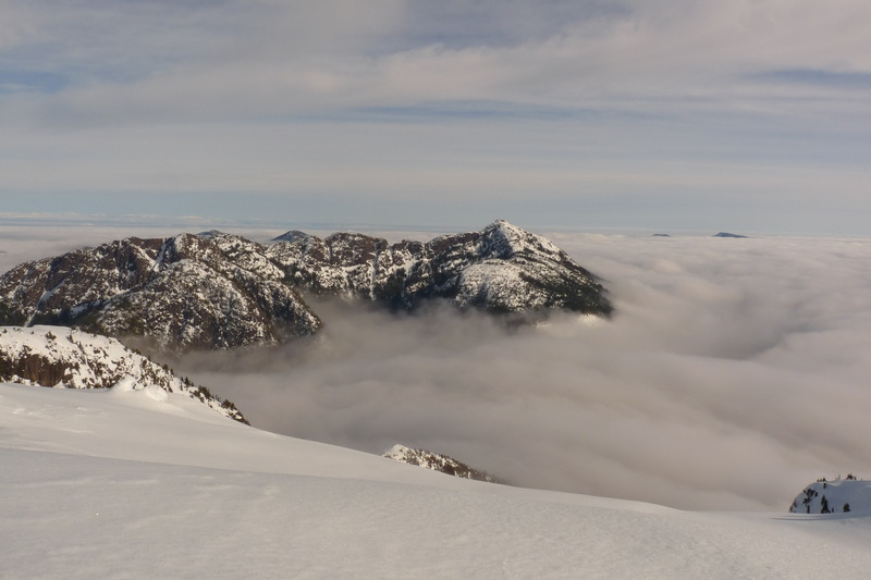
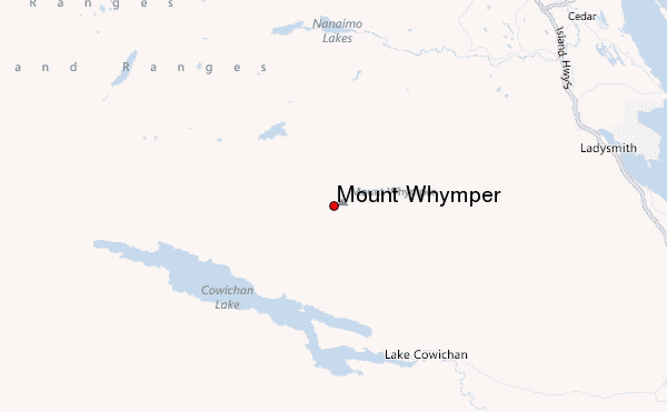
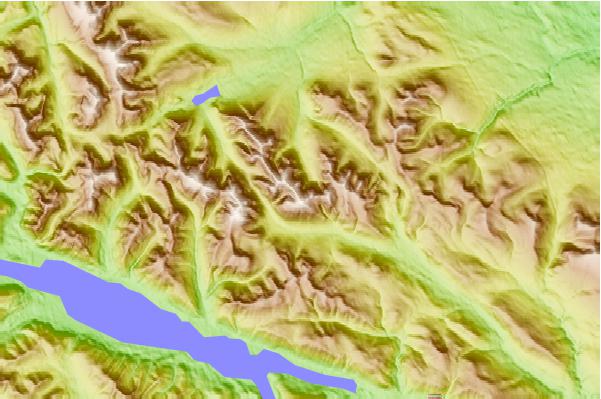
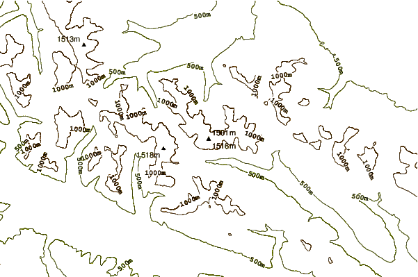
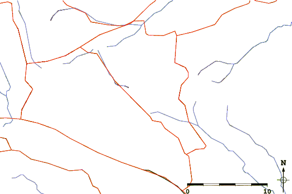
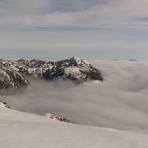
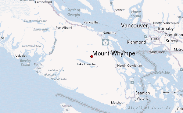
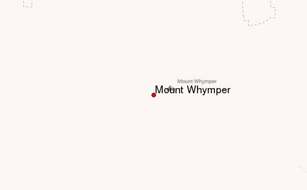
There are plenty of accommodation options throughout the Cowichan Valley and surrounding area, including B & B, hotels and camping. Mount Whymper (tallest peak on Vancouver Island, south of the 49th parallel) is located some 20 km up a private (gated) logging road in the Copper Canyon, through which runs the Chemainus River. The gate is open to the public on weekends from 8:00am to 6:00pm, except for fire season. There is no camping permitted inside the gated area, everyone going in in the morning means everyone out by evening. Logging has occurred almost to the tree-line of Whymper, just a generous band of timber remains. Consequently there is 4x4 access up most of this peak. The trail leaves the road at a well placed small rock cairn and vaguely threads its way through recent logging slash. Once into the timber the trail becomes fairly obvious. As you leave the timber onto bare rock there is some minor exposure as you scramble over small faces, but there is no technical climbing here. I would place the worst of it at a 5.0 with the majority being 4.6 - 4.8 (Yosemite scale). The actual climb involves an elevation gain of roughly 400m and the view is excellent; south gives you the Olympic Range of Washington State, west shows you the Pacific Ocean, north allows a view of Arrowsmith Mountain (iconic), while east lets you look right into downtown Nanaimo. A map of the road system would be necessary (South Island Back Roads, a map book), and some route finding skills would be an asset. This peak is usually covered in snow well into June with pockets persisting into July. There is NO cell-phone service here.
2015-04-20 |
 Mount Whymper – Climbing, Hiking & Mountaineering information