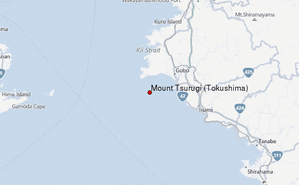
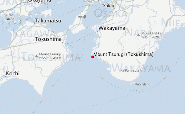
– Lat/Long: 33.85° N 135.08° E
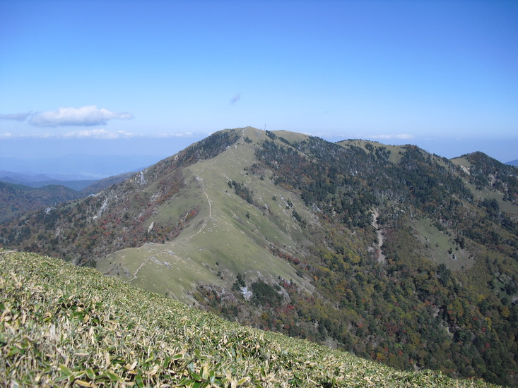
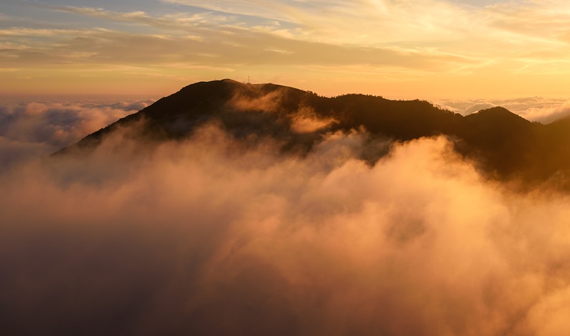
 Mount Tsurugi (Tokushima) – Climbing, Hiking & Mountaineering information
Mount Tsurugi (Tokushima) Guide
- Elevation: 1955
- Difficulty: -
- Best months to climb: -
- Convenient center: -
Mount Tsurugi (Tokushima) climbers NotesBe the first to submit your climbers note! Please submit any useful information about climbing Mount Tsurugi (Tokushima) that may be useful to other climbers. Consider things such as access and accommodation at the base of Mount Tsurugi (Tokushima), as well as the logistics of climbing to the summit. |
| Select a
mountain summit from the menu |
||
|
Select a Mountain Summit
|
||
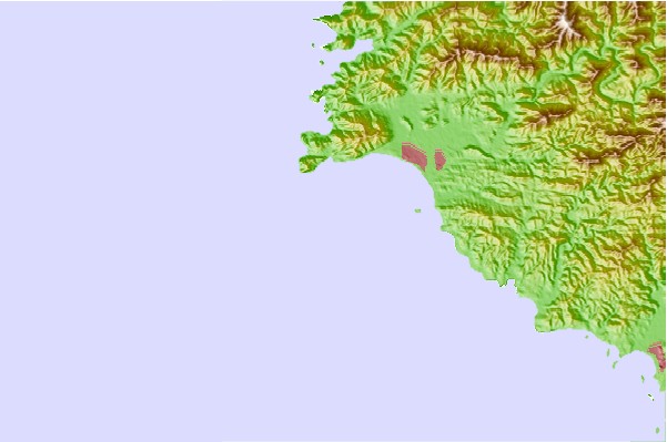
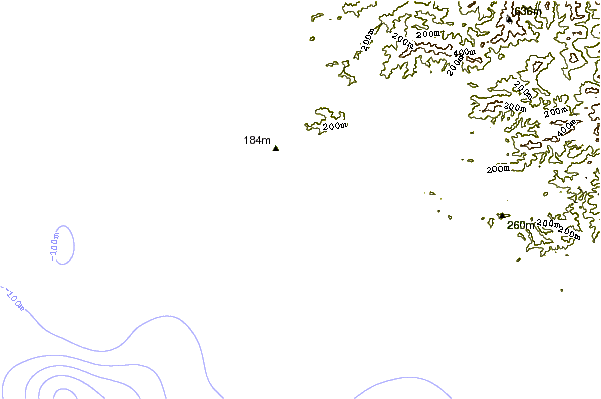
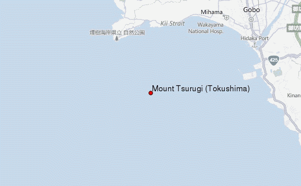
Use this relief map to navigate to mountain peaks in the area of Mount Tsurugi (Tokushima).
10 other mountain peaks closest to Mount Tsurugi (Tokushima):
| 1. | Mount Bizan (280 m) | 57.3 km |
| 2. | Mount Shakka (1800 m) | 81.2 km |
| 3. | Mount Hakkyō (1915 m) | 84.1 km |
| 4. | Mount Ōtenjō (1439 m) | 87.7 km |
| 5. | Mount Ōmine (1719 m) | 90.9 km |
| 6. | Mount Ōdaigahara (1695 m) | 92.1 km |
| 7. | Mount Shisuniwa (1236 m) | 92.5 km |
| 8. | Mount Tenpō (5 m) | 95.0 km |
| 9. | Mount Maya (699 m) | 97.1 km |
| 10. | Mount Nagamine (688 m) | 99.7 km |