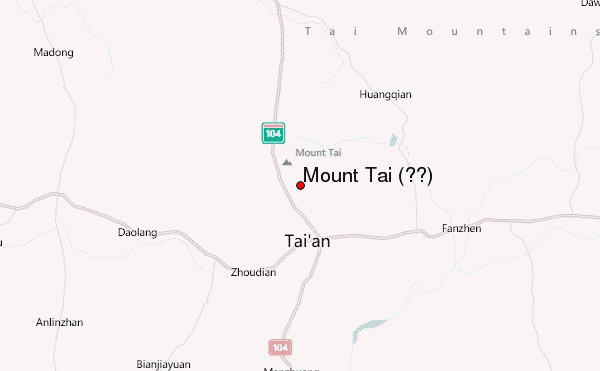
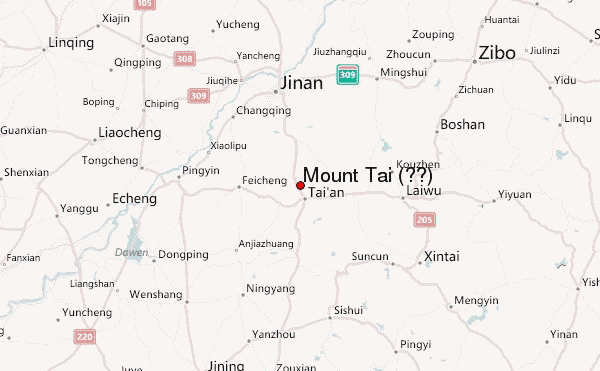
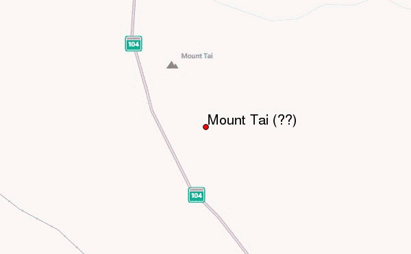
– Lat/Long: 36.25° N 117.10° E
 Mount Tai (泰山) (Mount Tai) – Climbing, Hiking & Mountaineering information

Mount Tai (泰山) Guide

- Elevation: 1533
- Difficulty: -
- Best months to climb: -
- Convenient center: -
Mount Tai (泰山) climbers NotesBe the first to submit your climbers note! Please submit any useful information about climbing Mount Tai (泰山) that may be useful to other climbers. Consider things such as access and accommodation at the base of Mount Tai (泰山), as well as the logistics of climbing to the summit. |

| Select a
mountain summit from the menu |
||
|
Select a Mountain Summit
|
||
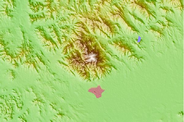
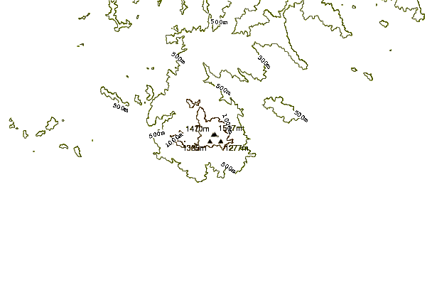
Use this relief map to navigate to mountain peaks in the area of Mount Tai (泰山).
10 other mountain peaks closest to Mount Tai (泰山):
| 1. | Mount Lao (崂山) (1133 m) | 313.6 km |
| 2. | Yuntai Mountain (Henan) (1308 m) | 349.8 km |
| 3. | Mount Song or Song Shan (嵩山) (1500 m) | 423.9 km |
| 4. | Mount Pan (盘山) (858 m) | 426.8 km |
| 5. | Mount Wutai or Qingliang Shan (五台山) (3058 m) | 439.2 km |
| 6. | Mount Heng (恒山) (2017 m) | 453.0 km |
| 7. | Mount Langya (1138 m) | 454.8 km |
| 8. | Wutai Shan (3058 m) | 487.9 km |
| 9. | Datong (1882 m) | 534.7 km |
| 10. | Mount Tianzhu (1760 m) | 583.5 km |
