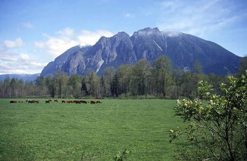
Mount Si Guide
- Elevation: 1270
- Difficulty: Scramble
- Best months to climb: January, February, March, April, May, June, July, August, September, October, November, December
- Convenient center: North Bend
Mount Si climbers Notes
Michael Williams from UNITED STATES writes:
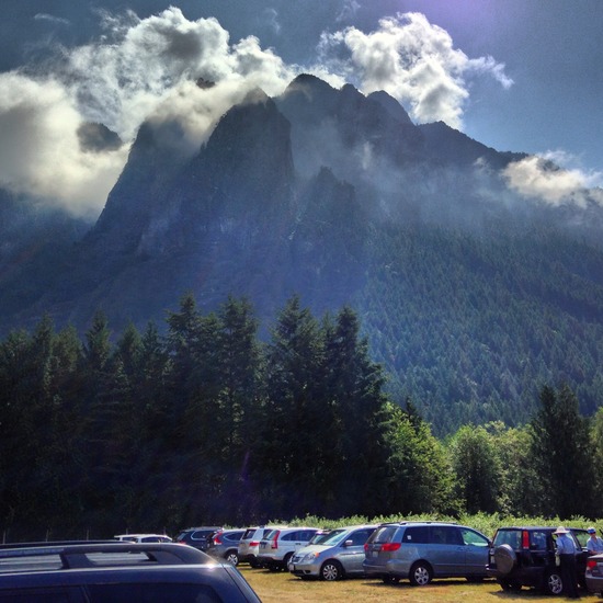
A four mile trail starting from a gravel parking lot. There is an outhouse and a water faucet at the trail head. This is not a state or national park so maintenance and cleanup is done by grants and volunteers. Please respect the beauty of the area by packing out your trash and consider helping by picking up trash, less mature, hikers leave.
If you aren't up to the 8 mile round trip, take the Talus Loop. You will still get a view of Mt. Rainier, Rattlesnake Ridge and Cascade Mountains. 4 miles total.
Watch for elk near the parking lot and mountain goats near the peak.
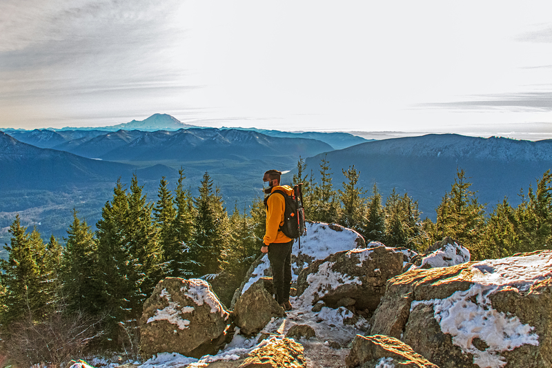
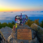
You can see the Olympic Mountains to the west, the Seattle Space Needle, Mt Rainier in its glory and will have climbed one of most popular climbs in the US. You will likely see hikers carrying heavy loads as they train here for peaks all over the world.
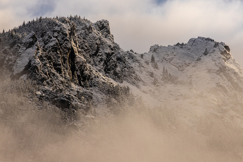
Additional challenge - scramble to the top of The Haystack. It is a scramble up a rock face with lots of dangerous exposure.. The reward on a clear day is amazing.
2014-02-02 |
Click here to submit your own climbing note for Mount Si
|
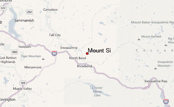
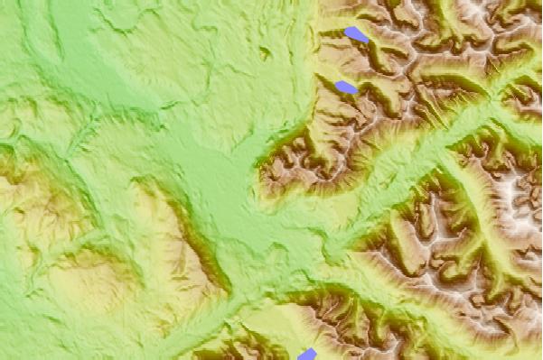
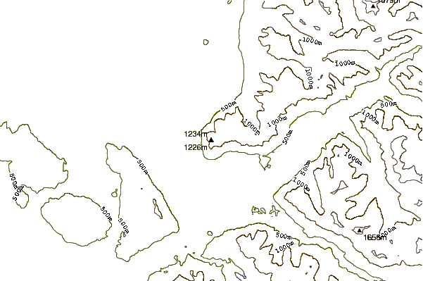
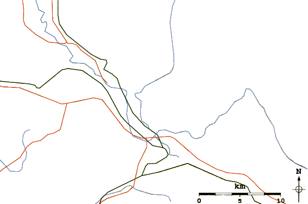
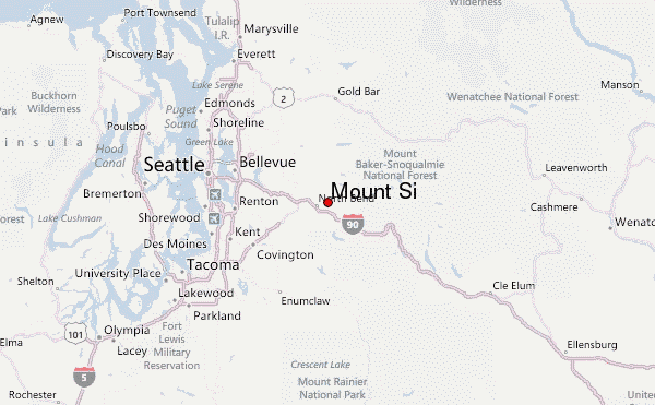
Select Mount Si Location Map Detail:
Use this relief map to navigate to mountain peaks in the area of Mount Si.
10 other mountain peaks closest to Mount Si:
 Mount Si – Climbing, Hiking & Mountaineering information
