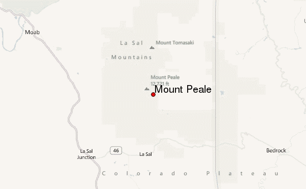
– Lat/Long: 38.44° N 109.23° W
 Mount Peale – Climbing, Hiking & Mountaineering information

Mount Peale Guide
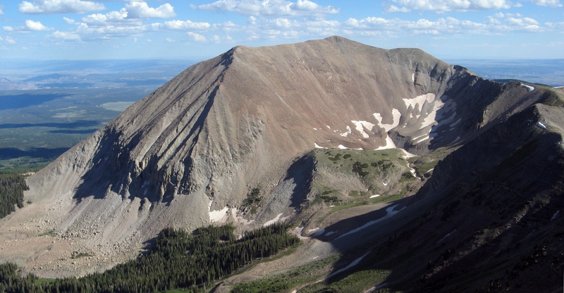
- Elevation: 3877
- Difficulty: Walk up
- Best months to climb: June, July, August, September, October
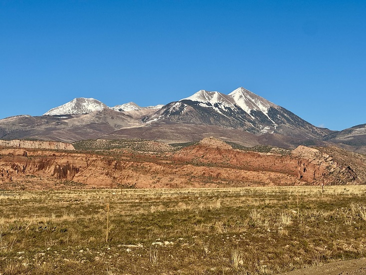
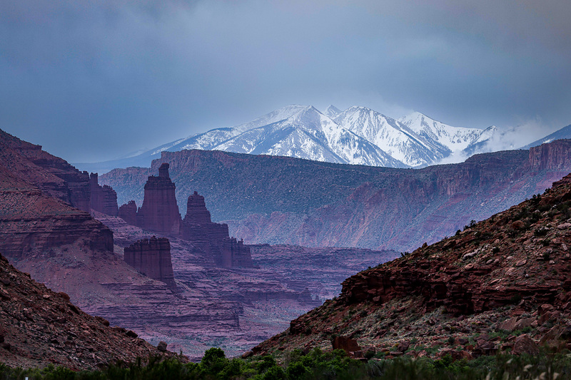
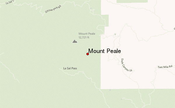
- Convenient center: Moab
Mount Peale climbers NotesBe the first to submit your climbers note! Please submit any useful information about climbing Mount Peale that may be useful to other climbers. Consider things such as access and accommodation at the base of Mount Peale, as well as the logistics of climbing to the summit. |
| Select a
mountain summit from the menu |
||
|
Select a Mountain Summit
|
||
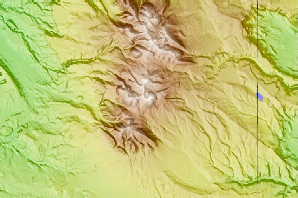
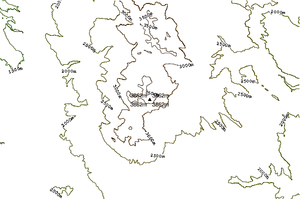
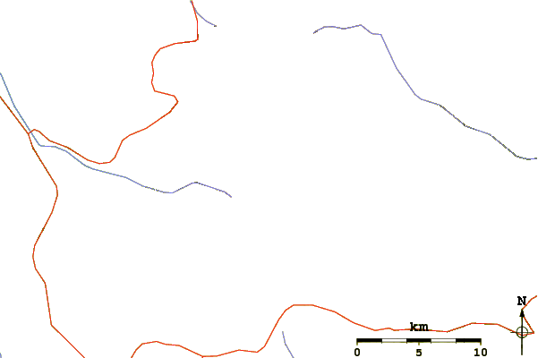
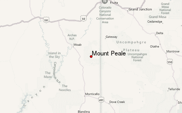
Use this relief map to navigate to mountain peaks in the area of Mount Peale.
10 other mountain peaks closest to Mount Peale:
| 1. | Gold Basin Yurt (3053 m) | 4.9 km |
| 2. | Geyser Pass Yurt (3233 m) | 5.7 km |
| 3. | La Sal Hut (2462 m) | 19.4 km |
| 4. | Castleton Tower (2029 m) | 26.1 km |
| 5. | Paradox Valley Hut (1597 m) | 26.5 km |
| 6. | The Titan (Fisher Towers) (1908 m) | 32.4 km |
| 7. | Gateway Hut (1395 m) | 34.8 km |
| 8. | Wedding Bell Hut (2005 m) | 44.9 km |
| 9. | Grahm Ranch Hut (2516 m) | 58.7 km |
| 10. | Abajo Peak (3462 m) | 69.3 km |