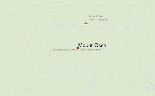
Mount Ossa Guide
- Elevation: 1617
- Difficulty: Scramble
- Best months to climb: December, January, February, March
- Convenient center: Devonport, Tasmania
Mount Ossa climbers Notes
Tim from AUSTRALIA writes:
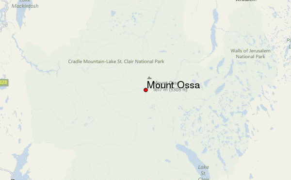
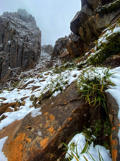
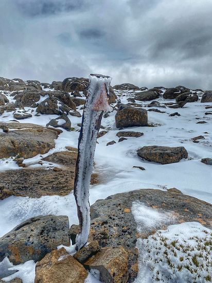
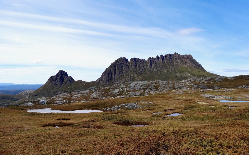
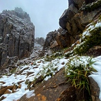
Mount Ossa, Tasmania's highest peak, is usually climbed from the Overland Track as a side trip of around 4 - 5 hours starting from Pelion Gap. It can be easily climbed as a day trip from and returning to Pelion Hut on the Overland Track (6 - 8 hours) or as a very long day trip from the Arm River Car Park (10 -14 hours). The climb is not technical however it can be challenging in poor weather. It is a commonly climbed mountain. Bushwalkers would be summiting most days during the summer. Winter climbers often turn back due to snow, wind and poor visibility. Tasmanian weather is notoriously changeable and unpredictable even in summer and appropriate wet and cold weather gear is needed. Young and very fit individuals will take less time than listed on the climbs.
2023-09-26 |
Click here to read 1 more climbing note for Mount Ossa or submit your own
|
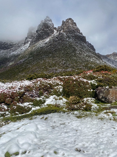
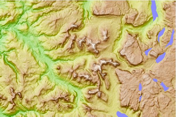
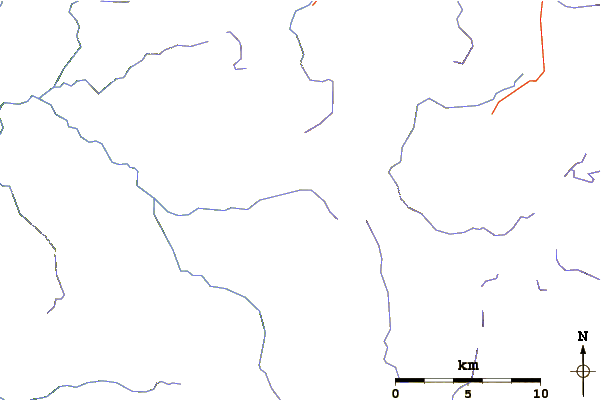
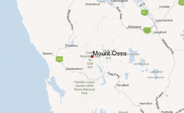
Select Mount Ossa Location Map Detail:
Use this relief map to navigate to mountain peaks in the area of Mount Ossa.
10 other mountain peaks closest to Mount Ossa:
 Mount Ossa – Climbing, Hiking & Mountaineering information
