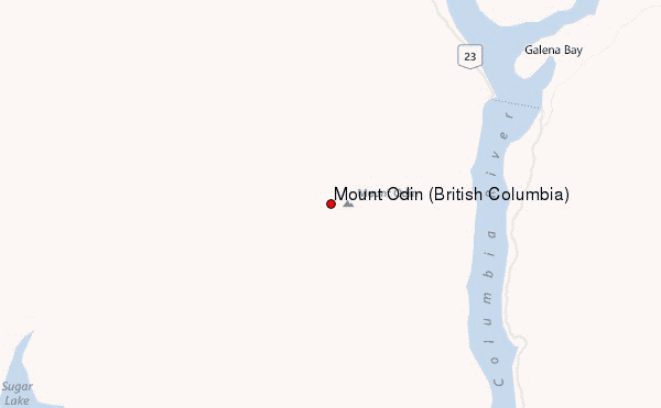
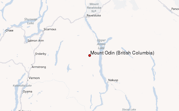
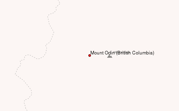
– Lat/Long: 50.55° N 118.13° W
 Mount Odin (British Columbia) – Climbing, Hiking & Mountaineering information

Mount Odin (British Columbia) Guide
- Elevation: 2970
- Difficulty: -
- Best months to climb: -
- Convenient center: -
Mount Odin (British Columbia) climbers NotesBe the first to submit your climbers note! Please submit any useful information about climbing Mount Odin (British Columbia) that may be useful to other climbers. Consider things such as access and accommodation at the base of Mount Odin (British Columbia), as well as the logistics of climbing to the summit. |
| Select a
mountain summit from the menu |
||
|
Select a Mountain Summit
|
||
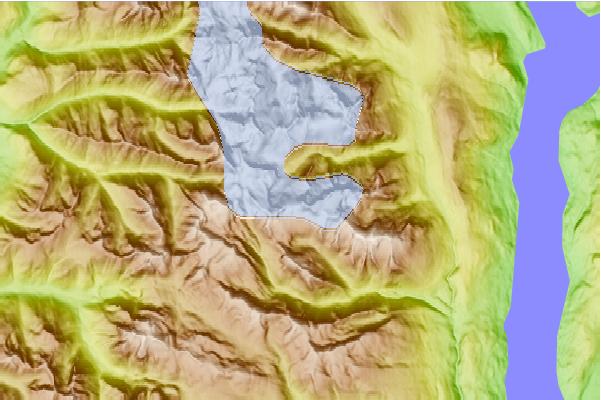
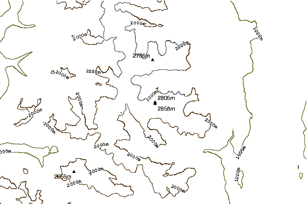
Use this relief map to navigate to mountain peaks in the area of Mount Odin (British Columbia).
10 other mountain peaks closest to Mount Odin (British Columbia):
| 1. | Revelstoke Mountain Resort (2447 m) | 46.5 km |
| 2. | Albert Peak (3045 m) | 57.5 km |
| 3. | Primrose Peak (2610 m) | 61.7 km |
| 4. | Silver Star Bike Park (1888 m) | 68.1 km |
| 5. | Queest Mountain (2087 m) | 71.2 km |
| 6. | Foremast (2643 m) | 73.4 km |
| 7. | Mainmast (2804 m) | 74.4 km |
| 8. | Lightning Peak (British Columbia) (2139 m) | 80.0 km |
| 9. | Sapphire Col Hut (2589 m) | 85.4 km |
| 10. | Glacier Circle Cabin (1809 m) | 86.2 km |