Mount Morungole Guide
- Elevation: 2749
- Difficulty: -
- Best months to climb: -
- Convenient center: -
Mount Morungole climbers Notes
Alinga Charity from UGANDA writes:
Mount Morungole is just at the border of Kidepo Valley, the hike is strenuous and very steep but manageable with patience and endurance. The spectacular views at the top are worth the climb and you also get to interact with indigenous IK people with rich culture!!!
2020-02-07 |
Click here to submit your own climbing note for Mount Morungole
|
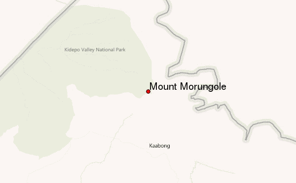
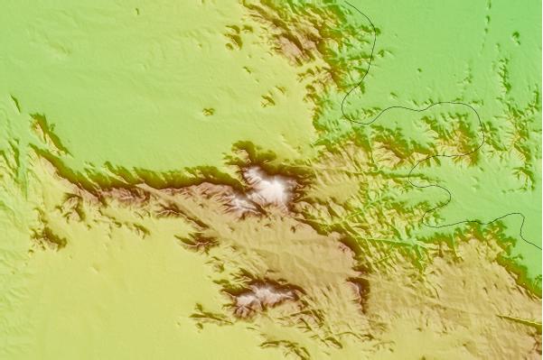
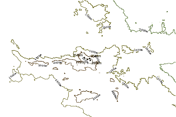
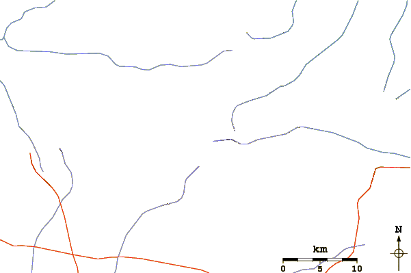
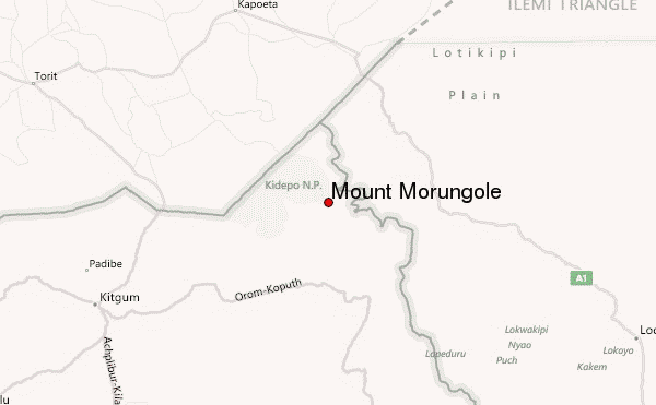
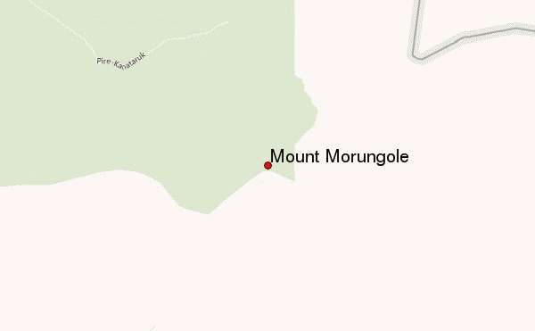
Select Mount Morungole Location Map Detail:
Use this relief map to navigate to mountain peaks in the area of Mount Morungole.
10 other mountain peaks closest to Mount Morungole:
 Mount Morungole – Climbing, Hiking & Mountaineering information