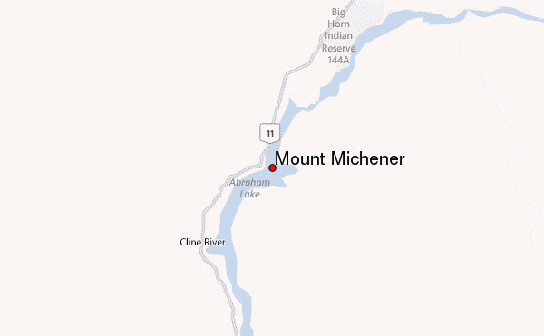
– Lat/Long: 52.25° N 116.38° W
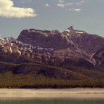
 Mount Michener – Climbing, Hiking & Mountaineering information

Mount Michener Guide
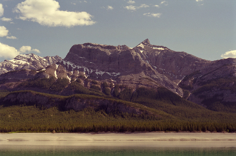
- Elevation: 2545
- Difficulty: -
- Best months to climb: -
- Convenient center: -
Mount Michener climbers NotesBe the first to submit your climbers note! Please submit any useful information about climbing Mount Michener that may be useful to other climbers. Consider things such as access and accommodation at the base of Mount Michener, as well as the logistics of climbing to the summit. |
| Select a
mountain summit from the menu |
||
|
Select a Mountain Summit
|
||
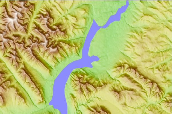
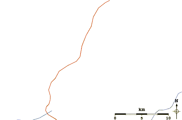
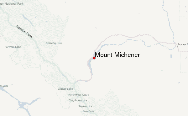
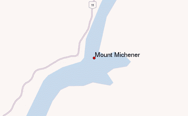
Use this relief map to navigate to mountain peaks in the area of Mount Michener.
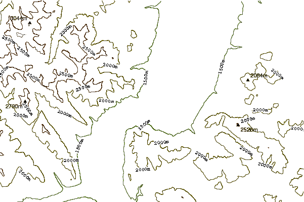
10 other mountain peaks closest to Mount Michener:
| 1. | Mount William Booth (2730 m) | 18.5 km |
| 2. | Mount Cline (3361 m) | 29.2 km |
| 3. | Mount Chephren (3274 m) | 48.7 km |
| 4. | Mount Sarbach (3155 m) | 49.8 km |
| 5. | Mount Saskatchewan (Alberta) (3342 m) | 51.7 km |
| 6. | Howse Peak (3295 m) | 53.3 km |
| 7. | Mount Synge (2957 m) | 53.6 km |
| 8. | Midway Peak (2923 m) | 53.9 km |
| 9. | Aiguille Peak (3001 m) | 53.9 km |
| 10. | Stairway Peak (3006 m) | 54.7 km |