Mount McKay Guide
- Elevation: 483
- Difficulty: -
- Best months to climb: -
- Convenient center: -
Mount McKay climbers Notes
Mark Boucher from CANADA writes:
I have climbed several different sides of Mt McKay. People can climb straight up the middle of the side facing Thunder Bay starting from the bottom. You can also go up the left side which is on Mission Rd. You can go east from the top of the old Mt McKay Ski Hill Side, there is a trail that will bring you to a tunnel that goes straight through the mountain to the top. The entrance is near the top when climbing up. There is a trail that will take you up either the front or the back of the mountain. I like climbing up above the pow wow grounds.
2015-03-11 |
Click here to submit your own climbing note for Mount McKay
|
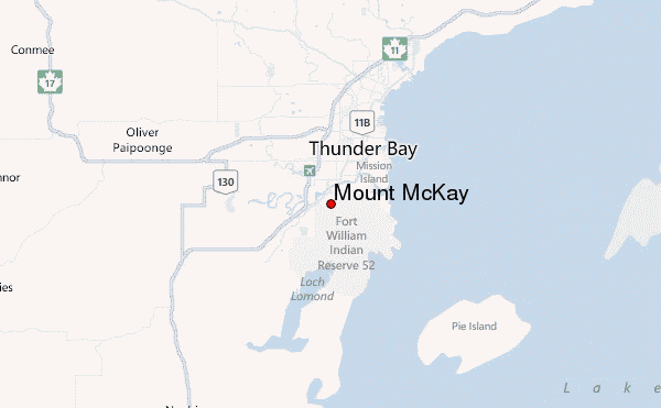
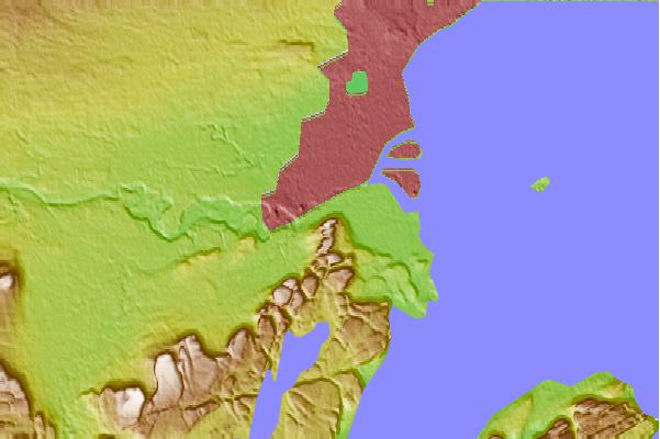
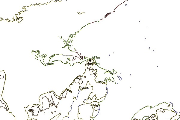
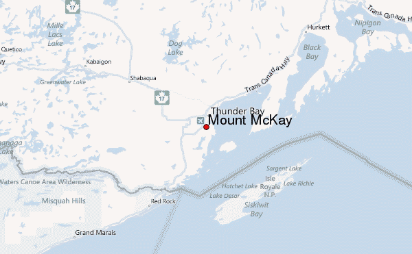
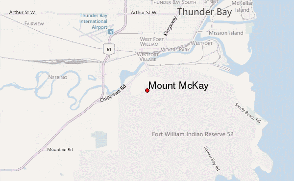
Select Mount McKay Location Map Detail:
Use this relief map to navigate to mountain peaks in the area of Mount McKay.
10 other mountain peaks closest to Mount McKay:
 Mount McKay – Climbing, Hiking & Mountaineering information