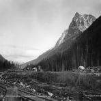
Mount Macdonald Guide
- Elevation: 2883
- Difficulty: -
- Best months to climb: -
- Convenient center: -
Mount Macdonald climbers Notes
Jesse from CANADA writes:
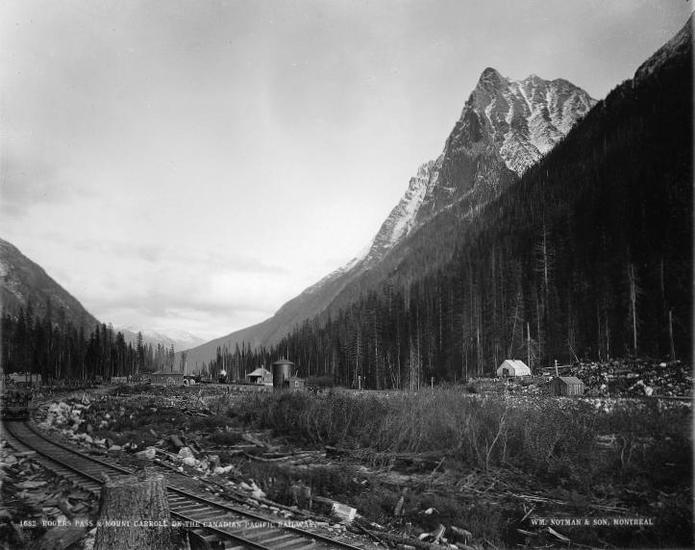
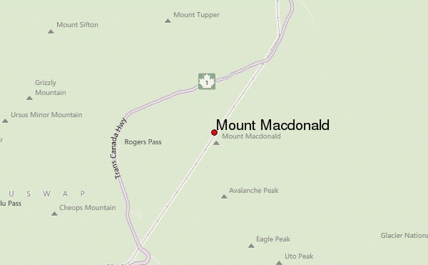
Early season access to North face or NW ridge is imperative for crossing slide alder (snow cover required). Parking for NW shoulder route is on right at first snow shed after passing Rogers Pass Visitor Centre. Log crossing can be found 150 m west of snow shed. Previewing approach the day before the climb would be very helpful.
2015-08-13 |
Click here to submit your own climbing note for Mount Macdonald
|
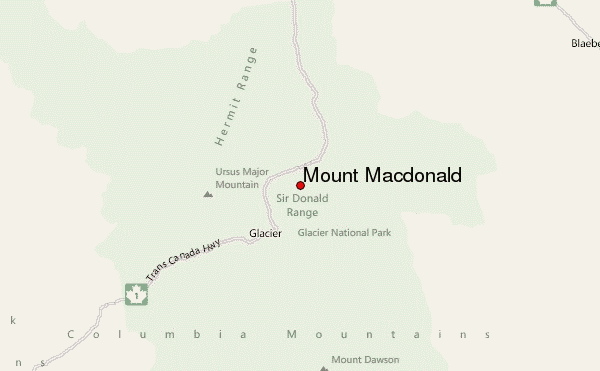
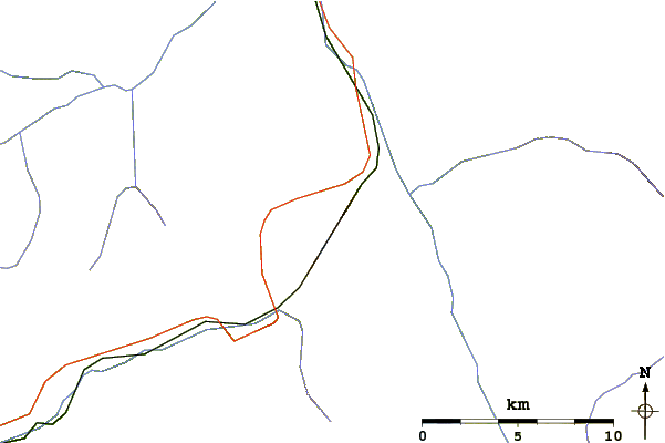
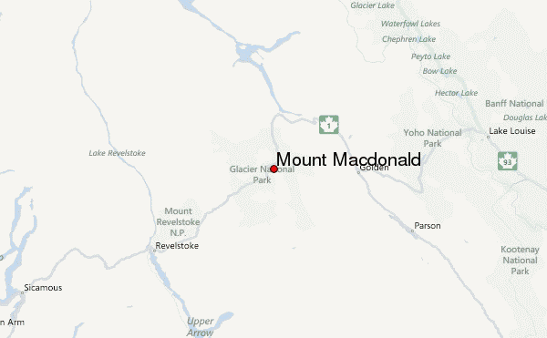
Select Mount Macdonald Location Map Detail:
Use this relief map to navigate to mountain peaks in the area of Mount Macdonald.
10 other mountain peaks closest to Mount Macdonald:
 Mount Macdonald – Climbing, Hiking & Mountaineering information