– Lat/Long: 44.11° N 71.09° W
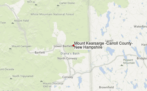
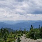
 Mount Kearsarge (Carroll County, New Hampshire) – Climbing, Hiking & Mountaineering information

Mount Kearsarge (Carroll County, New Hampshire) Guide
- Elevation: 996
- Difficulty: -
- Best months to climb: -
- Convenient center: -
Mount Kearsarge (Carroll County, New Hampshire) climbers Notes
Click here to submit your own climbing note for Mount Kearsarge (Carroll County, New Hampshire) |
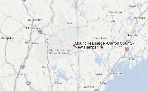
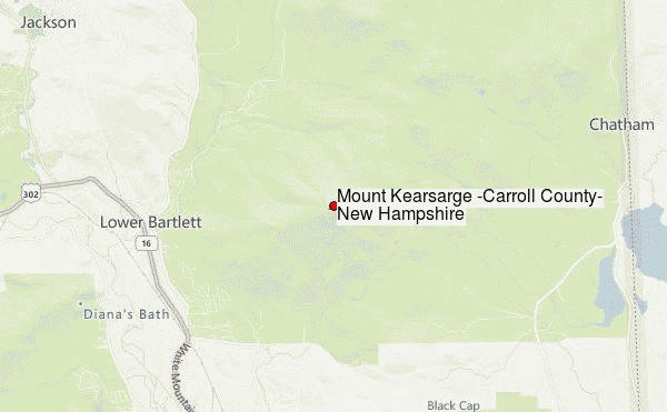
Select Mount Kearsarge (Carroll County, New Hampshire) Location Map Detail:
| Select a
mountain summit from the menu |
||
|
Select a Mountain Summit
|
||
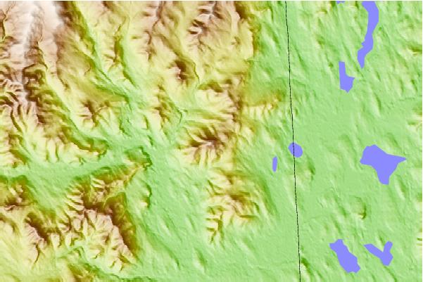
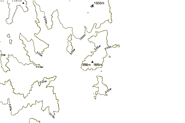
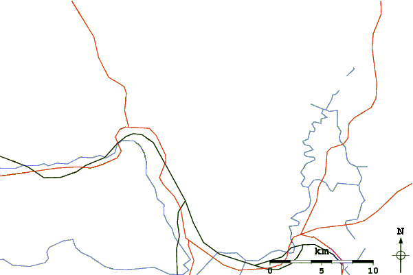
Use this relief map to navigate to mountain peaks in the area of Mount Kearsarge (Carroll County, New Hampshire).
10 other mountain peaks closest to Mount Kearsarge (Carroll County, New Hampshire):
| 1. | Cranmore Bike Park (North Conway) (405 m) | 5.6 km |
| 2. | Black Cap (mountain) (722 m) | 6.0 km |
| 3. | Mount Doublehead (931 m) | 7.5 km |
| 4. | Attitash Mountain Bike Resort (692 m) | 11.1 km |
| 5. | North Moat Mountain (974 m) | 11.9 km |
| 6. | Eastman Mountain (New Hampshire) (896 m) | 12.5 km |
| 7. | Bear Mountain (New Hampshire) (913 m) | 18.7 km |
| 8. | Wildcat Mountain (New Hampshire) (1348 m) | 19.0 km |
| 9. | Carter Dome (1473 m) | 19.1 km |
| 10. | Bartlett Haystack (913 m) | 19.6 km |