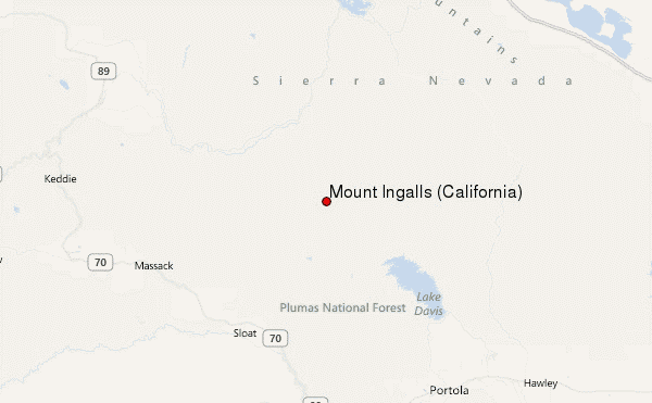
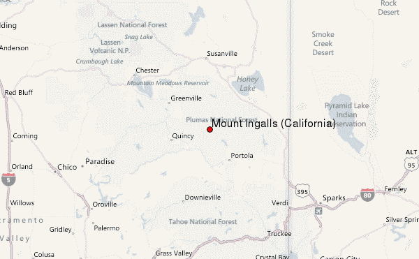
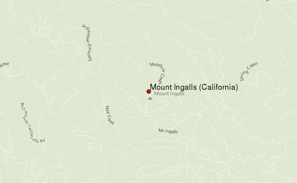
– Lat/Long: 39.99° N 120.63° W
 Mount Ingalls (California) – Climbing, Hiking & Mountaineering information

Mount Ingalls (California) Guide
- Elevation: 2553
- Difficulty: -
- Best months to climb: -
- Convenient center: -
Mount Ingalls (California) climbers NotesBe the first to submit your climbers note! Please submit any useful information about climbing Mount Ingalls (California) that may be useful to other climbers. Consider things such as access and accommodation at the base of Mount Ingalls (California), as well as the logistics of climbing to the summit. |
| Select a
mountain summit from the menu |
||
|
Select a Mountain Summit
|
||
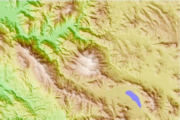
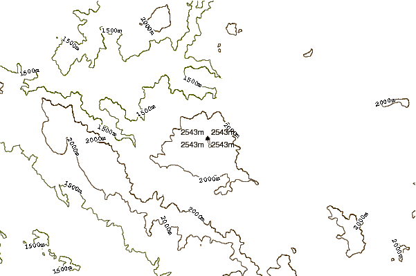
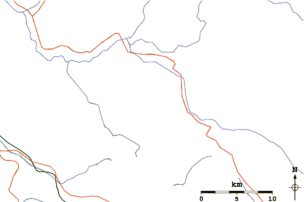
Use this relief map to navigate to mountain peaks in the area of Mount Ingalls (California).
10 other mountain peaks closest to Mount Ingalls (California):
| 1. | Mount Fillmore (2352 m) | 35.1 km |
| 2. | Schroeder mountain (2116 m) | 41.7 km |
| 3. | Sugar Pine Peak (1471 m) | 54.3 km |
| 4. | Mount Lola (2788 m) | 66.3 km |
| 5. | Lost Lake Ridge (2170 m) | 67.9 km |
| 6. | Bald Rock Dome (1069 m) | 69.6 km |
| 7. | Peter Grubb Hut (2383 m) | 73.1 km |
| 8. | Castle Peak (California) (2776 m) | 73.9 km |
| 9. | Morgan Family Foundation Hut (2316 m) | 74.2 km |
| 10. | Albert M. Rockwood Hut (2316 m) | 74.2 km |