– Lat/Long: 37.12° N 139.08° E
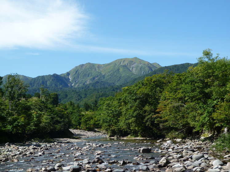
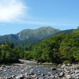
 Mount Echigo-Komagatake
Weather Forecast, JapanIssued: 2 am Sun 05 May Local TimeUpdates in: hr min sUpdate imminent
Mount Echigo-KomagatakeWeather Forecast, Japan
Issued: 2 am Sun 05 May Local Time
Updates in:
Update imminent hr min s

Issued: 2 am Sun 05 May Local Time
Updates in:
Update imminent hr min s
Days 1–3 Weather SummaryModerate rain (total 10mm) heaviest on Tue afternoon, then becoming colder with a dusting of snow on Tue night. Very mild (max 13°C on Sun afternoon, min 1°C on Tue night). Winds increasing (light winds from the SSW on Sun morning, strong winds from the SW by Mon morning). | Days 4–6 Weather SummaryA dusting of new snow. Freeze-thaw conditions (max 8°C on Fri night, min -3°C on Wed night). Wind will be generally light. | |||||||||||||||||
Sunday 5 | Monday 6 | Tuesday 7 | Wednesday 8 | Thursday 9 | Friday 10 | |||||||||||||
AM | PM | night | AM | PM | night | AM | PM | night | AM | PM | night | AM | PM | night | AM | PM | night | |
clear | clear | some clouds | cloudy | some clouds | rain shwrs | light rain | mod. rain | light snow | light snow | cloudy | some clouds | clear | clear | clear | clear | clear | clear | |
km/h | ||||||||||||||||||
Wave Height Map | 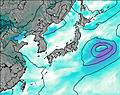 | 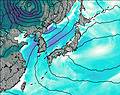 | 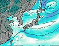 | 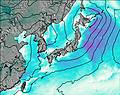 | 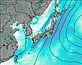 |  | ||||||||||||
— | — | — | — | — | — | — | — | 1.0 | 2.0 | — | — | — | — | — | — | — | — | |
— | — | — | — | — | 1.7 | 0.6 | 5 | 2 | — | — | — | — | — | — | — | — | — | |
max°C | 12 | 13 | 12 | 11 | 10 | 11 | 8 | 6 | 5 | 0 | -1 | -2 | 0 | 1 | 3 | 6 | 7 | 8 |
min°C | 11 | 12 | 12 | 10 | 10 | 9 | 7 | 5 | 1 | 0 | -1 | -3 | -2 | 0 | 0 | 5 | 6 | 7 |
9 | 10 | 10 | 6 | 6 | 6 | 3 | 1 | -4 | -5 | -6 | -7 | -5 | -3 | -4 | 2 | 3 | 4 | |
3400 | 3600 | 4100 | 4000 | 3900 | 4050 | 3650 | 3400 | 2850 | 1900 | 1650 | 1250 | 1450 | 2150 | 2500 | 2950 | 3000 | 3450 | |
Cloud base (m) | 8900 | 9450 | 7050 | 5650 | 3050 | 3150 | 2600 | 1500 | 700 | 700 | 700 | 750 | 950 | 1650 | ||||
4:43 | — | — | 4:43 | — | — | 4:41 | — | — | 4:41 | — | — | 4:39 | — | — | 4:39 | — | — | |
— | 6:36 | — | — | 6:37 | — | — | 6:37 | — | — | 6:38 | — | — | 6:39 | — | — | 6:40 | — | |
Mount Echigo-Komagatake Weather (Days 0-3):
The weather forecast for Mount Echigo-Komagatake is: Moderate rain (total 10mm) heaviest on Tue afternoon, then becoming colder with a dusting of snow on Tue night. Very mild (max 13°C on Sun afternoon, min 1°C on Tue night). Winds increasing (light winds from the SSW on Sun morning, strong winds from the SW by Mon morning).
Mount Echigo-Komagatake Weather (Days 3-6):
A dusting of new snow. Freeze-thaw conditions (max 8°C on Fri night, min -3°C on Wed night). Wind will be generally light.
This table gives the weather forecast for Mount Echigo-Komagatake at the specific elevation of 2003 m. Our advanced weather models allow us to provide distinct weather forecasts for several elevations of Mount Echigo-Komagatake. To see the weather forecasts for the other elevations, use the tab navigation above the table. For a wider overview of the weather, consult the Weather Map of Japan.
Mount Echigo-Komagatake Photos
View all
Honshu photos (135) |
Japanese Archipelago photos (255) |
photos from mountains in Japan (337) |
all photos
 Upload new photo
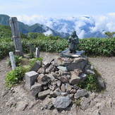
Statue of Japanese god at the peak of Echigo Komagatake
Mount Echigo-Komagatake
 Like us
 Follow us
