– Lat/Long: 45.81° S 170.55° E
 Kapukataumahaka (Mount Cargill) – Climbing, Hiking & Mountaineering information

Kapukataumahaka Guide
- Elevation: 676
- Difficulty: -
- Best months to climb: -
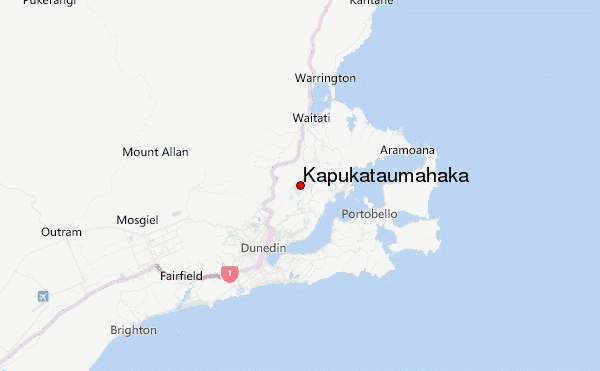
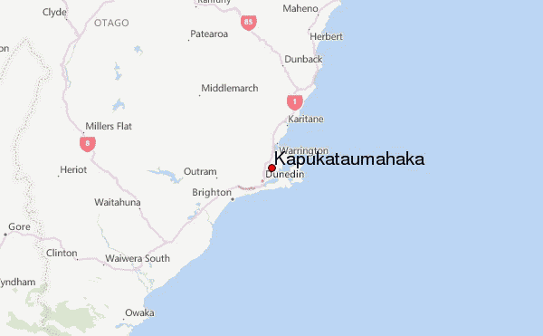
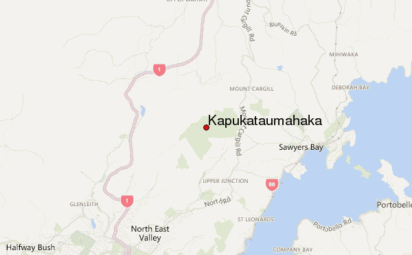
- Convenient center: Dunedin
Kapukataumahaka climbers NotesBe the first to submit your climbers note! Please submit any useful information about climbing Kapukataumahaka that may be useful to other climbers. Consider things such as access and accommodation at the base of Kapukataumahaka, as well as the logistics of climbing to the summit. |
| Select a
mountain summit from the menu |
||
|
Select a Mountain Summit
|
||
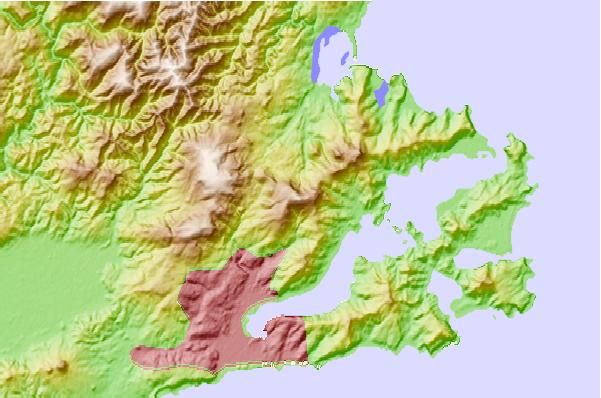
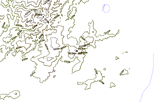
Use this relief map to navigate to mountain peaks in the area of Kapukataumahaka.
10 other mountain peaks closest to Kapukataumahaka:
| 1. | Philip J Cox Memorial Hut (399 m) | 12.2 km |
| 2. | Jubilee Hut (425 m) | 13.7 km |
| 3. | Big Hut (1329 m) | 56.2 km |
| 4. | Summit Rock (1450 m) | 57.4 km |
| 5. | Staircase Hut (502 m) | 58.7 km |
| 6. | Mitchells Hut (1065 m) | 72.7 km |
| 7. | Mount Dasher (1304 m) | 74.2 km |
| 8. | Half Moon Hut (1102 m) | 75.0 km |
| 9. | Buster Hut (1200 m) | 101.8 km |
| 10. | Brown Hut (1160 m) | 105.4 km |