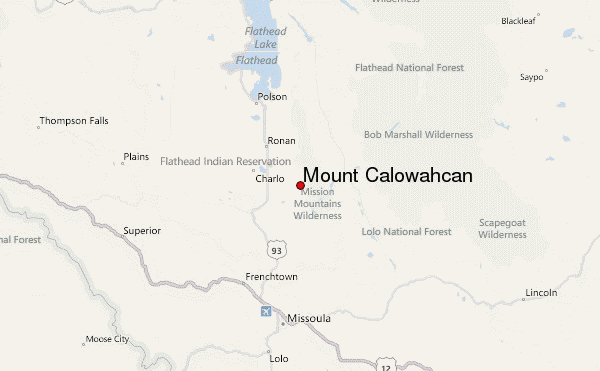
– Lat/Long: 47.38° N 113.92° W
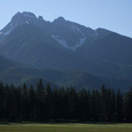
 Mount Calowahcan – Climbing, Hiking & Mountaineering information

Mount Calowahcan Guide
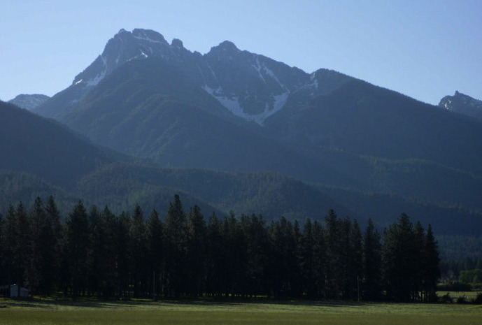
- Elevation: 2762
- Difficulty: -
- Best months to climb: -
- Convenient center: -
Mount Calowahcan climbers NotesBe the first to submit your climbers note! Please submit any useful information about climbing Mount Calowahcan that may be useful to other climbers. Consider things such as access and accommodation at the base of Mount Calowahcan, as well as the logistics of climbing to the summit. |
| Select a
mountain summit from the menu |
||
|
Select a Mountain Summit
|
||
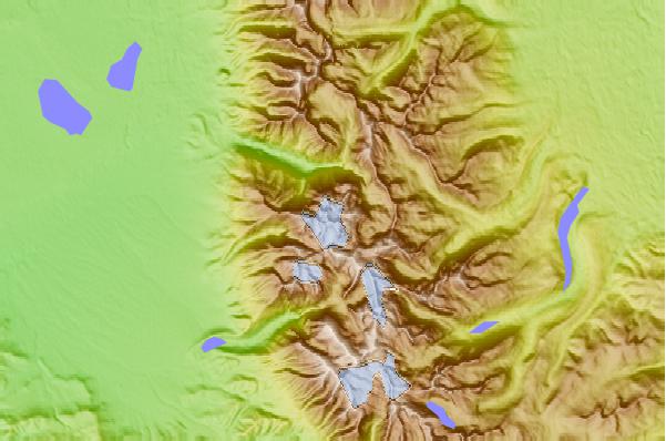
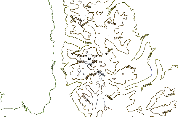
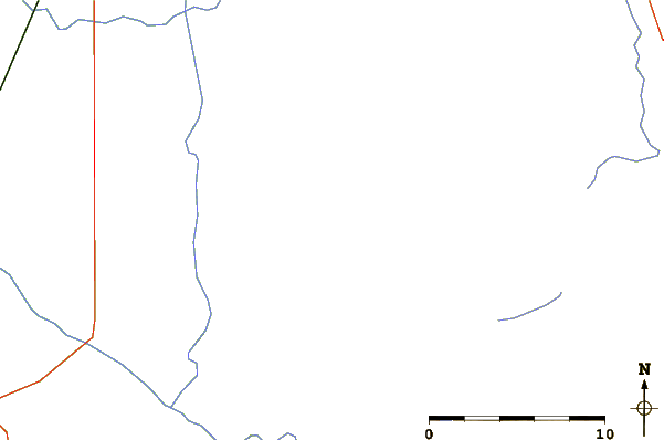
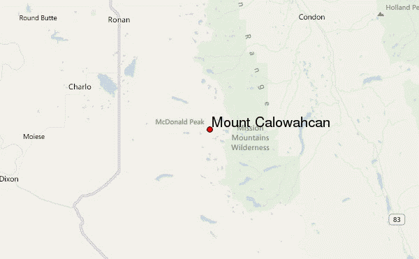
Use this relief map to navigate to mountain peaks in the area of Mount Calowahcan.
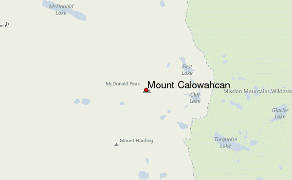
10 other mountain peaks closest to Mount Calowahcan:
| 1. | McDonald Peak (2993 m) | 0.0 km |
| 2. | Alpine Yurt (2093 m) | 48.3 km |
| 3. | Lupine Yurt (2006 m) | 48.6 km |
| 4. | Mount Jumbo (1453 m) | 56.2 km |
| 5. | Mount Sentinel (1572 m) | 59.2 km |
| 6. | Legacy Bike Park (1295 m) | 68.9 km |
| 7. | Silvertip Cabin (1341 m) | 77.0 km |
| 8. | Kenck Cabin (1585 m) | 78.7 km |
| 9. | Jewel Basin Yurt (1524 m) | 86.7 km |
| 10. | Penrose Peak (Montana) (2204 m) | 92.8 km |