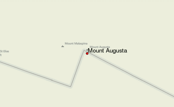
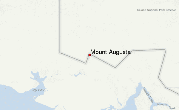
– Lat/Long: 60.30° N 140.46° W
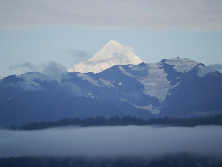
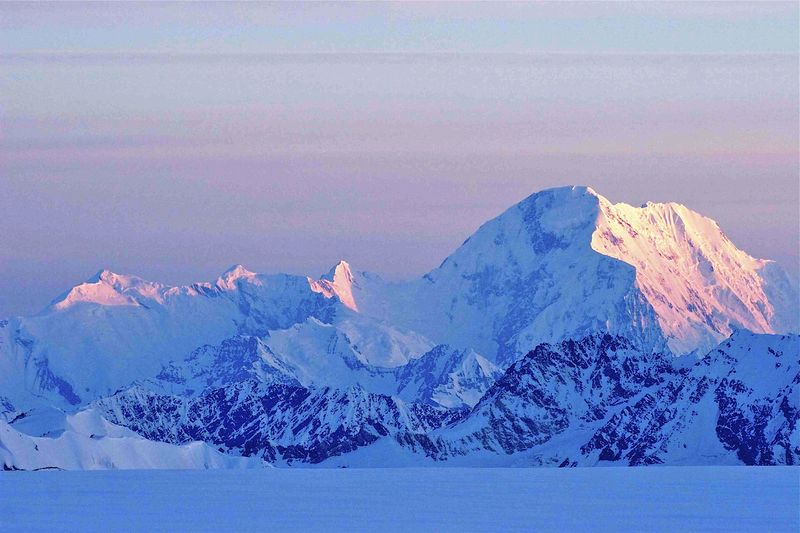
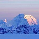
 Mount Augusta – Climbing, Hiking & Mountaineering information

Mount Augusta Guide
- Elevation: 4288
- Difficulty: -
- Best months to climb: -
- Convenient center: -
Mount Augusta climbers NotesBe the first to submit your climbers note! Please submit any useful information about climbing Mount Augusta that may be useful to other climbers. Consider things such as access and accommodation at the base of Mount Augusta, as well as the logistics of climbing to the summit. |
| Select a
mountain summit from the menu |
||
|
Select a Mountain Summit
|
||
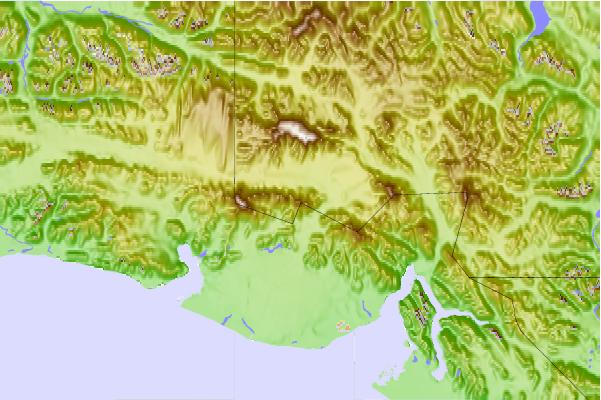
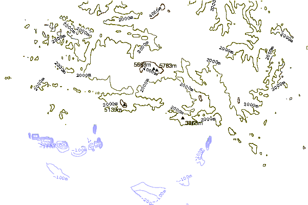
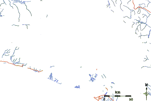
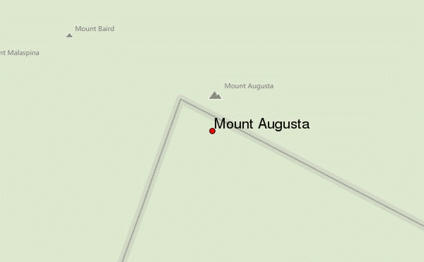
Use this relief map to navigate to mountain peaks in the area of Mount Augusta.
10 other mountain peaks closest to Mount Augusta:
| 1. | Mount Saint Elias (5489 m) | 26.1 km |
| 2. | Mount Logan (5959 m) | 29.5 km |
| 3. | Mount Cook or Boundary Peak 182 (4196 m) | 30.1 km |
| 4. | King Peak (5173 m) | 32.9 km |
| 5. | McArthur Peak (4344 m) | 36.3 km |
| 6. | Mount Vancouver (4809 m) | 42.8 km |
| 7. | Mount Queen Mary (3928 m) | 54.1 km |
| 8. | Mount Saskatchewan (Yukon) (3500 m) | 75.8 km |
| 9. | Mount Alverstone (4419 m) | 76.1 km |
| 10. | Mount Hubbard (4557 m) | 76.4 km |