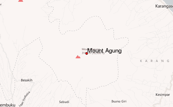
Mount Agung Guide
- Elevation: 3142
- Difficulty: Walk up
- Best months to climb: May, June, July, August
- Convenient center: Besakih
Mount Agung climbers Notes
Diogo from AUSTRALIA writes:
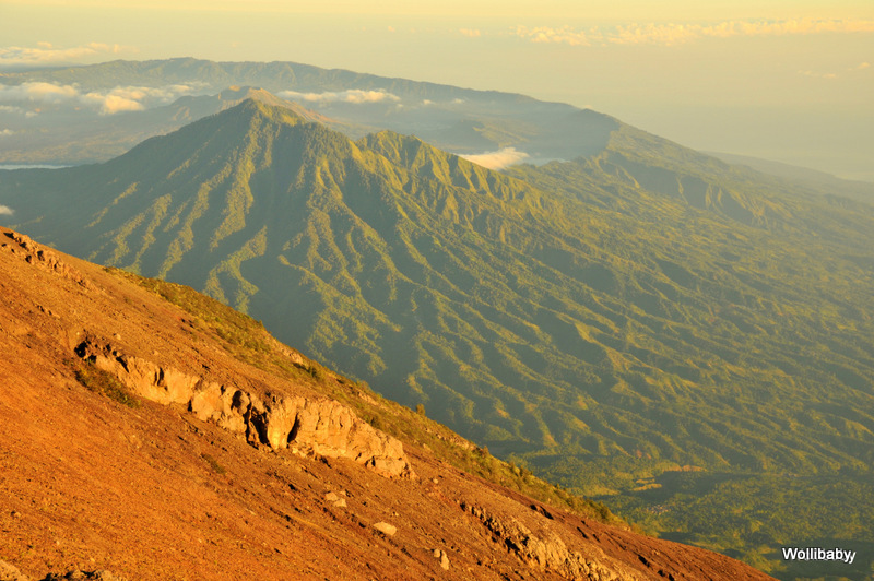
Beautiful mountain to climb!
Easy walk from the base till half way where it starts to get a bit steep and slippery. There are parts along the track where there's rope to help but if has been raining for a while it gets tricky. Lots of roots from trees and small bushes to help as well. We did the walk from 11pm till 4am and there was no problem. There are places to set up a camp halfway up and shelters as well.
2016-08-13 |
Click here to submit your own climbing note for Mount Agung
|
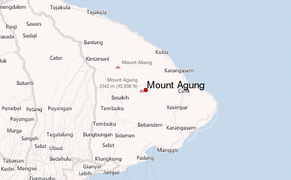
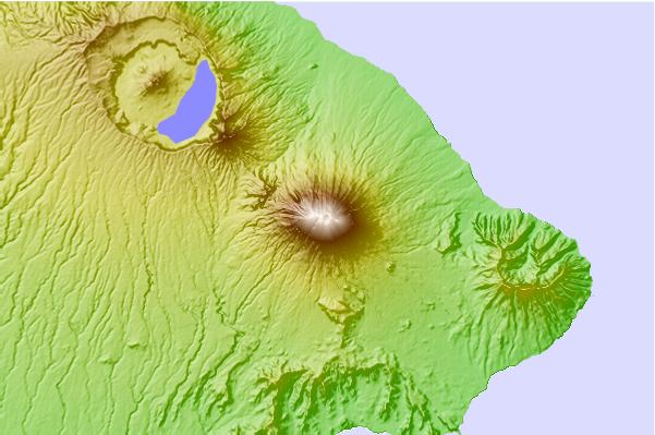
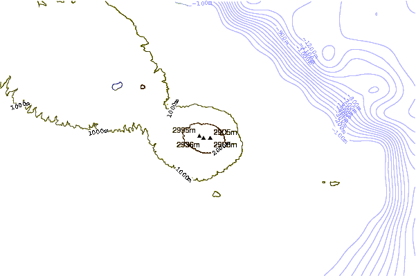
Select Mount Agung Location Map Detail:
Use this relief map to navigate to mountain peaks in the area of Mount Agung.
10 other mountain peaks closest to Mount Agung:
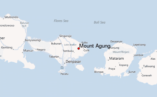
 Mount Agung – Climbing, Hiking & Mountaineering information


