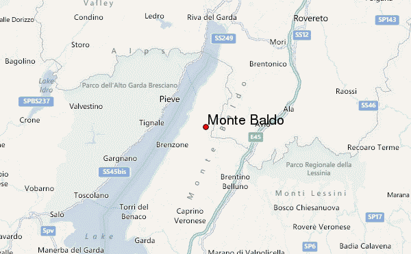
– Lat/Long: 45.73° N 10.83° E
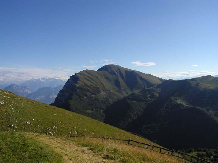
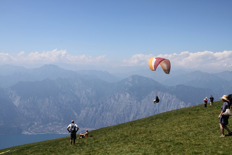
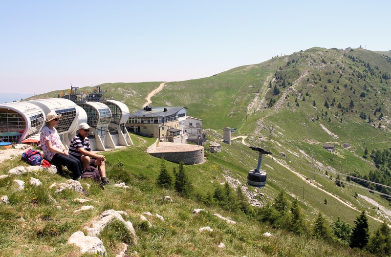
 Monte Baldo – Climbing, Hiking & Mountaineering information

Monte Baldo Guide
- Elevation: 2079
- Difficulty: -
- Best months to climb: -
- Convenient center: -
Monte Baldo climbers NotesBe the first to submit your climbers note! Please submit any useful information about climbing Monte Baldo that may be useful to other climbers. Consider things such as access and accommodation at the base of Monte Baldo, as well as the logistics of climbing to the summit. |
| Select a
mountain summit from the menu |
||
|
Select a Mountain Summit
|
||
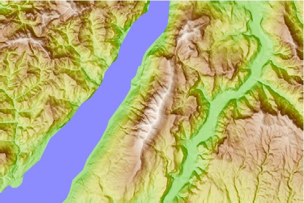
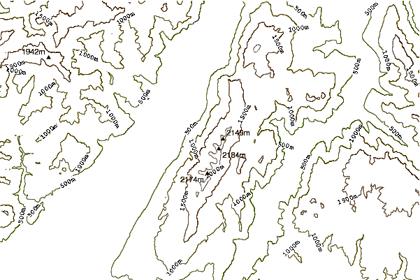
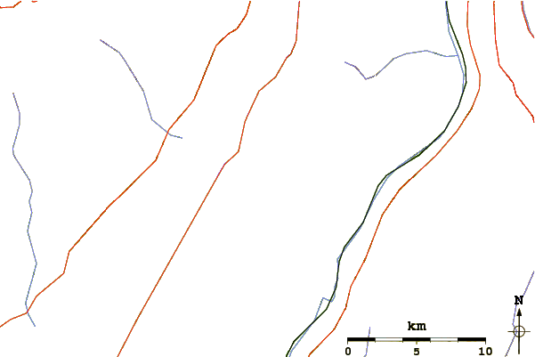
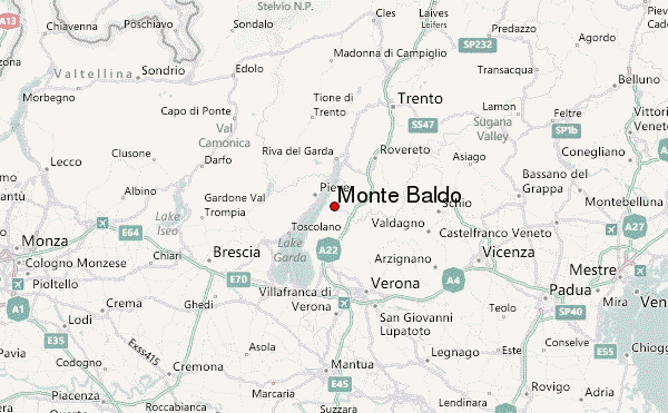
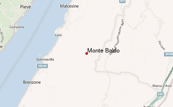
Use this relief map to navigate to mountain peaks in the area of Monte Baldo.
10 other mountain peaks closest to Monte Baldo:
| 1. | Rifugio Francesco Calzolari E Giovanni Pona Al Telegrafo (2147 m) | 3.1 km |
| 2. | Sella Della Malga Pra Alpesina (1469 m) | 4.8 km |
| 3. | Rifugio Baita Fos-ce (1430 m) | 7.2 km |
| 4. | Capanna Valfredda (1309 m) | 7.4 km |
| 5. | Rifugio Altissimo/chiesa Damiano (2060 m) | 9.7 km |
| 6. | Passo Fittanze (Della Sega) (1393 m) | 12.6 km |
| 7. | Monte Tremalzo (1975 m) | 16.0 km |
| 8. | Malga Pavari' (871 m) | 16.2 km |
| 9. | Passo San Giovanni (287 m) | 16.7 km |
| 10. | Capanna Santa Barbara (560 m) | 16.8 km |