– Lat/Long: 45.55° N 73.15° W
 Mont Saint-Hilaire – Climbing, Hiking & Mountaineering information

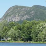
Mont Saint-Hilaire Guide
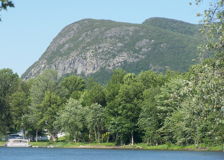
- Elevation: 414
- Difficulty: -
- Best months to climb: -
- Convenient center: -
Mont Saint-Hilaire climbers NotesBe the first to submit your climbers note! Please submit any useful information about climbing Mont Saint-Hilaire that may be useful to other climbers. Consider things such as access and accommodation at the base of Mont Saint-Hilaire, as well as the logistics of climbing to the summit. |

| Select a
mountain summit from the menu |
||
|
Select a Mountain Summit
|
||
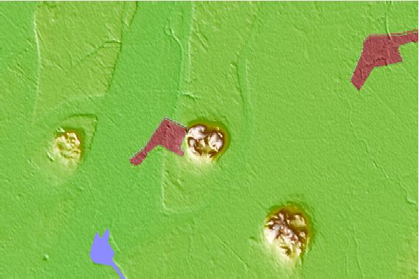
Use this relief map to navigate to mountain peaks in the area of Mont Saint-Hilaire.
10 other mountain peaks closest to Mont Saint-Hilaire:
| 1. | Mont Rougemont (390 m) | 12.3 km |
| 2. | Mont Saint-Bruno (218 m) | 12.4 km |
| 3. | Mont Saint-Grégoire (251 m) | 22.5 km |
| 4. | Mont Yamaska (411 m) | 24.9 km |
| 5. | Bromont: Montagne d'Expériences (540 m) | 49.6 km |
| 6. | Mont Brome (553 m) | 50.3 km |
| 7. | Ski Montcalm (320 m) | 75.8 km |
| 8. | Parc vélo Sommet Saint-Sauveur (382 m) | 84.7 km |
| 9. | Jay Peak (Vermont) (1176 m) | 85.3 km |
| 10. | Big Jay (1154 m) | 85.5 km |