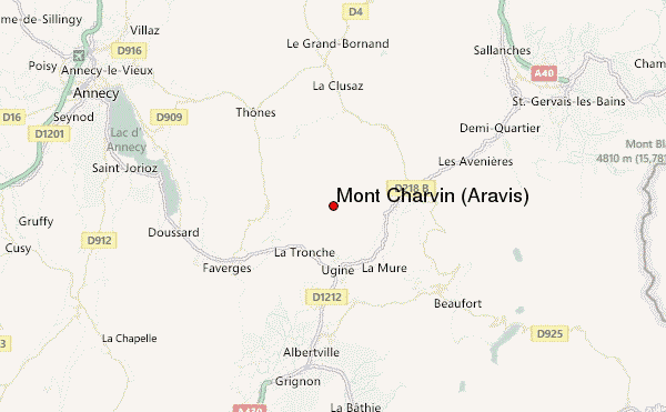
– Lat/Long: 45.80° N 6.42° E
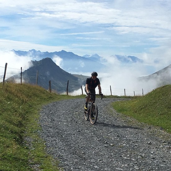
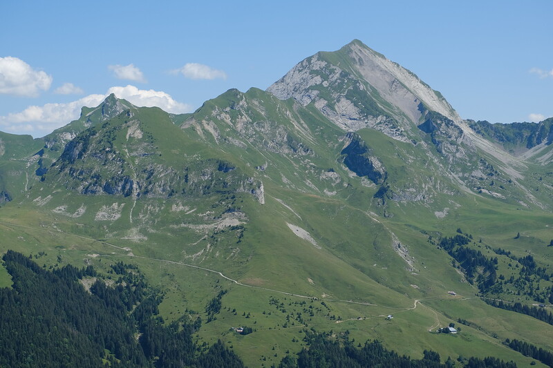
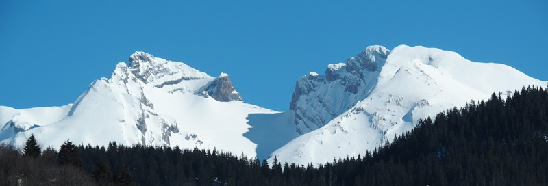
 Mont Charvin (Aravis) – Climbing, Hiking & Mountaineering information

Mont Charvin (Aravis) Guide
- Elevation: 2409
- Difficulty: -
- Best months to climb: -
- Convenient center: -
Mont Charvin (Aravis) climbers NotesBe the first to submit your climbers note! Please submit any useful information about climbing Mont Charvin (Aravis) that may be useful to other climbers. Consider things such as access and accommodation at the base of Mont Charvin (Aravis), as well as the logistics of climbing to the summit. |
| Select a
mountain summit from the menu |
||
|
Select a Mountain Summit
|
||
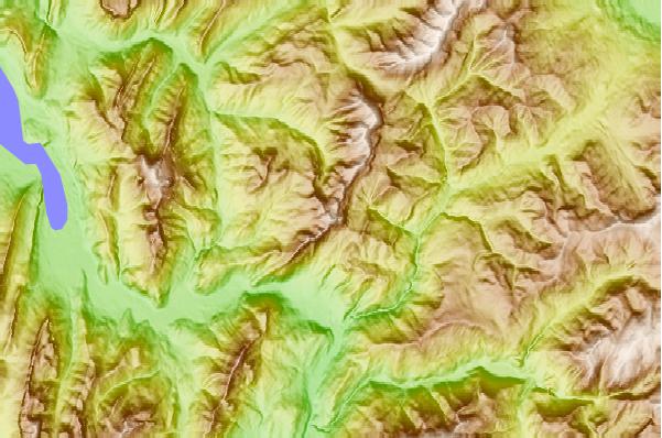
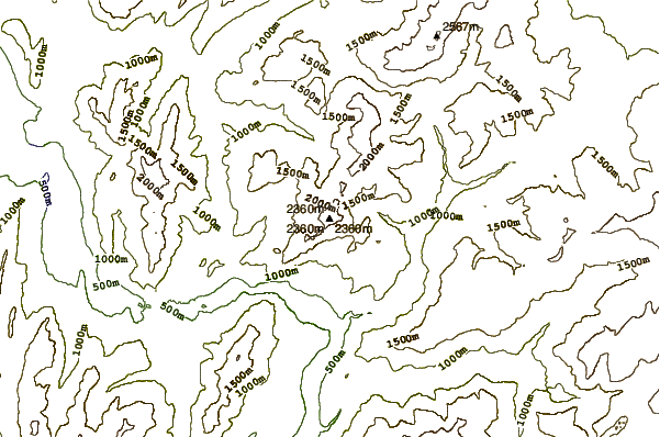
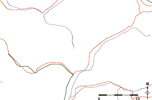
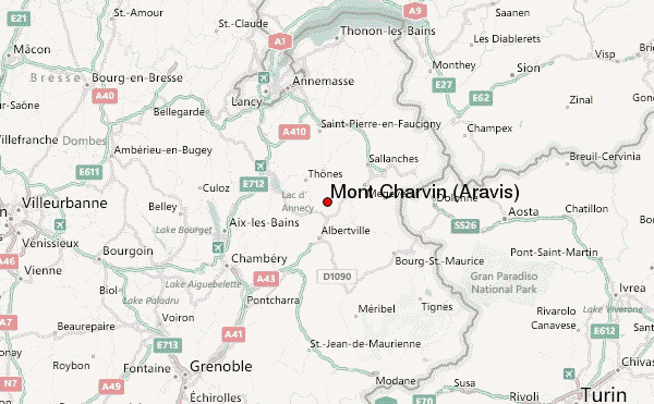
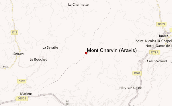
Use this relief map to navigate to mountain peaks in the area of Mont Charvin (Aravis).
10 other mountain peaks closest to Mont Charvin (Aravis):
| 1. | Étale (mountain) (2484 m) | 5.8 km |
| 2. | Bike Park Manigod (1645 m) | 8.3 km |
| 3. | Dent de Cons (2062 m) | 9.6 km |
| 4. | La Clusaz Bike Park (2355 m) | 10.2 km |
| 5. | Aiguille de Borderan (2492 m) | 10.4 km |
| 6. | La Tournette (2351 m) | 10.8 km |
| 7. | Les Saisies Bike Park (1930 m) | 10.8 km |
| 8. | Parrossaz (2556 m) | 10.8 km |
| 9. | Grande Balmaz (2616 m) | 11.7 km |
| 10. | Négresse (1720 m) | 12.5 km |