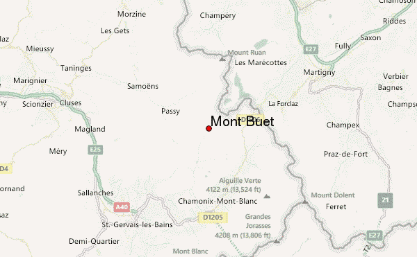
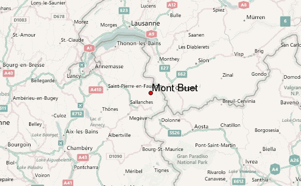
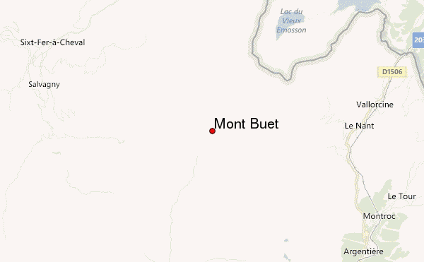
– Lat/Long: 46.02° N 6.85° E
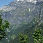
 Mont Buet – Climbing, Hiking & Mountaineering information

Mont Buet Guide
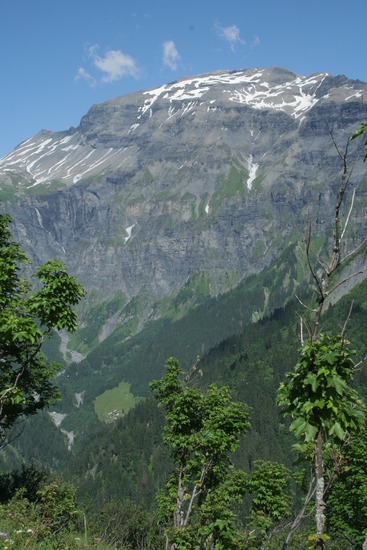
- Elevation: 3096
- Difficulty: -
- Best months to climb: -
- Convenient center: -
Mont Buet climbers NotesBe the first to submit your climbers note! Please submit any useful information about climbing Mont Buet that may be useful to other climbers. Consider things such as access and accommodation at the base of Mont Buet, as well as the logistics of climbing to the summit. |
| Select a
mountain summit from the menu |
||
|
Select a Mountain Summit
|
||
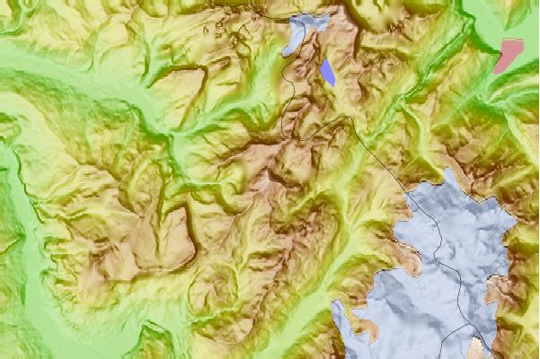
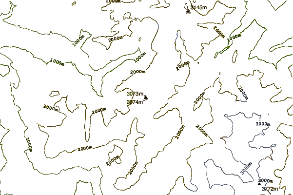
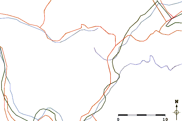
Use this relief map to navigate to mountain peaks in the area of Mont Buet.
10 other mountain peaks closest to Mont Buet:
| 1. | Refuge de la Pierre à Bérard (1922 m) | 2.7 km |
| 2. | Grenier de Commune (1775 m) | 2.8 km |
| 3. | Le Cheval Blanc (mountain) (2831 m) | 3.3 km |
| 4. | Refuge du Grenairon (1949 m) | 4.3 km |
| 5. | Aiguille du Belvédère (2965 m) | 4.4 km |
| 6. | Refuge de Loriaz (2020 m) | 4.9 km |
| 7. | Refuge Wills / d'Anterne (1993 m) | 5.3 km |
| 8. | Refuge Alfred Wills (1808 m) | 5.3 km |
| 9. | Cabane du Vieux Emosson (2181 m) | 5.5 km |
| 10. | Les Perrons (2671 m) | 5.8 km |