– Lat/Long: 44.12° N 3.58° E
 Mont Aigoual
Weather Forecast, FranceIssued: 7 pm Sat 18 Jul Local TimeUpdates in: hr min sUpdate imminent
Issued: 7 pm Sat 18 Jul Local Time
Updates in:
Update imminent hr min s

Issued: 7 pm Sat 18 Jul Local Time
Updates in:
Update imminent hr min s
Days 1–4 Weather SummaryMostly dry. Warm (max 25°C on Mon afternoon, min 18°C on Sat night). Winds increasing (calm on Mon morning, fresh winds from the WNW by Tue afternoon). | Days 5–7 Weather SummaryMostly dry. Warm (max 24°C on Wed afternoon, min 16°C on Thu night). Winds increasing (light winds from the WNW on Wed night, near gales from the N by Thu night). | ||||||||||||||||||
Sunday 19 | Monday 20 | Tuesday 21 | Wednesday 22 | Thursday 23 | Friday 24 | ||||||||||||||
night | AM | PM | night | AM | PM | night | AM | PM | night | AM | PM | night | AM | PM | night | AM | PM | night | |
clear | clear | clear | some clouds | clear | clear | rain shwrs | clear | clear | clear | clear | clear | clear | clear | clear | clear | clear | clear | clear | |
Cloud base (m) | 5700 | 9050 | 9250 | ||||||||||||||||
km/h | |||||||||||||||||||
 |  |  |  |  |  |  | |||||||||||||
— | — | — | — | — | — | — | — | — | — | — | — | — | — | — | — | — | — | — | |
mm | — | — | — | — | — | — | 0.1 | — | — | — | — | — | — | — | — | — | — | — | — |
max °C | 21 | 18 | 24 | 22 | 20 | 25 | 23 | 21 | 24 | 23 | 19 | 24 | 24 | 17 | 21 | 18 | 16 | 23 | 22 |
min °C | 18 | 18 | 21 | 19 | 19 | 23 | 20 | 20 | 23 | 19 | 19 | 22 | 18 | 17 | 20 | 16 | 16 | 20 | 19 |
chill °C | 17 | 17 | 21 | 19 | 19 | 23 | 20 | 20 | 23 | 19 | 18 | 22 | 18 | 16 | 20 | 14 | 15 | 20 | 19 |
Freezing level m | 4250 | 4250 | 4300 | 4300 | 4300 | 4350 | 4350 | 4350 | 4400 | 4550 | 4450 | 4400 | 4350 | 4200 | 4100 | 4750 | 4650 | 4400 | 4300 |
— | 6:18 | — | — | 6:20 | — | — | 6:20 | — | — | 6:22 | — | — | 6:22 | — | — | 6:24 | — | — | |
— | — | — | 9:22 | — | — | 9:22 | — | — | 9:22 | — | — | 9:21 | — | — | 9:20 | — | — | 9:19 | |
Loading...
Mont Aigoual Weather (Days 0-3):
The weather forecast for Mont Aigoual is: Mostly dry. Warm (max 25°C on Mon afternoon, min 18°C on Sat night). Winds increasing (calm on Mon morning, fresh winds from the WNW by Tue afternoon).
Mont Aigoual Weather (Days 3-6):
Mostly dry. Warm (max 24°C on Wed afternoon, min 16°C on Thu night). Winds increasing (light winds from the WNW on Wed night, near gales from the N by Thu night).
This table gives the weather forecast for Mont Aigoual at the specific elevation of 1567 m. Our advanced weather models allow us to provide distinct weather forecasts for several elevations of Mont Aigoual. To see the weather forecasts for the other elevations, use the tab navigation above the table. For a wider overview of the weather, consult the Weather Map of France.
| Weather Station | Temp. | Weather | Wind | Gusts | Cloud / Visibility |
|---|---|---|---|---|---|
Mont Aigoual | |||||
YCMC | |||||
Nimes -Courbessac | |||||
Lanas Syn | |||||
SPEED FLY |
* NOTE: not all weather observatories update at the same frequency which is the reason why some locations may show data from stations that are further away than known closer ones.
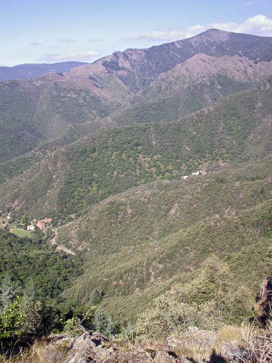
Mont Aigoual Photos
View all
Massif Central photos (10) |
photos from mountains in France (301) |
all photos
 Upload new photo
Mont Aigoual