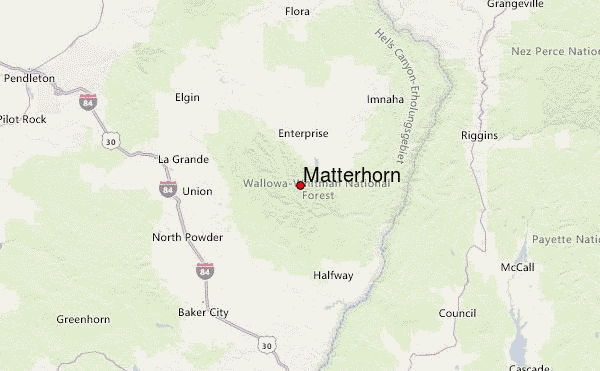
– Lat/Long: 45.23° N 117.30° W
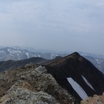
 Matterhorn – Climbing, Hiking & Mountaineering information

Matterhorn Guide
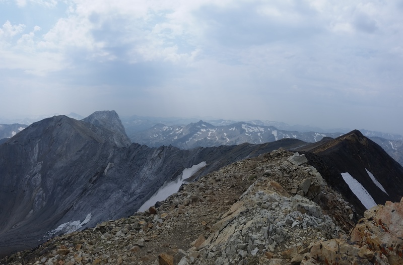
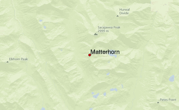
- Elevation: 2995
- Difficulty: Scramble
- Best months to climb: June, July, August, September
- Convenient center: LaGrande, OR
Matterhorn climbers NotesBe the first to submit your climbers note! Please submit any useful information about climbing Matterhorn that may be useful to other climbers. Consider things such as access and accommodation at the base of Matterhorn, as well as the logistics of climbing to the summit. |
| Select a
mountain summit from the menu |
||
|
Select a Mountain Summit
|
||
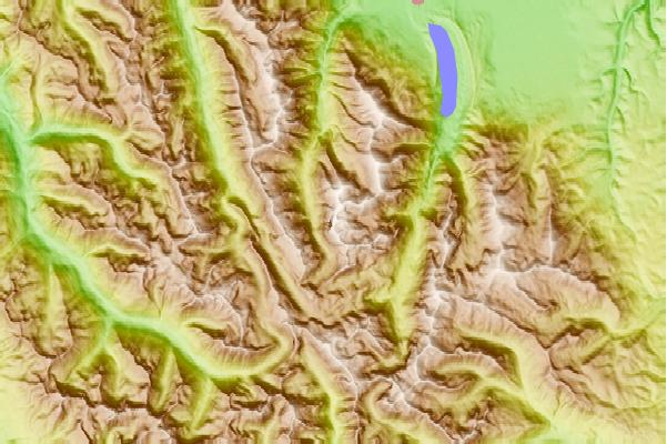
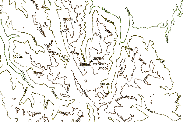
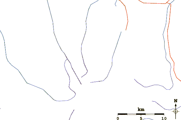
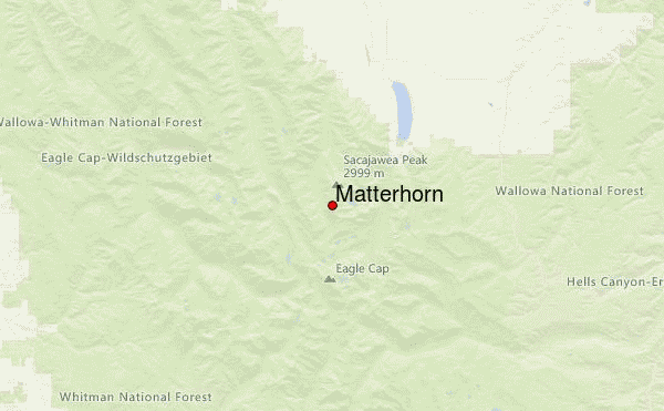
Use this relief map to navigate to mountain peaks in the area of Matterhorn.
10 other mountain peaks closest to Matterhorn:
| 1. | Sacajawea Peak (2999 m) | 2.0 km |
| 2. | Eagle Cap (2925 m) | 7.2 km |
| 3. | Petes Point (2949 m) | 7.5 km |
| 4. | Mount Howard (Oregon) (2516 m) | 10.1 km |
| 5. | Aneroid Mountain (2957 m) | 10.1 km |
| 6. | McCully Camp (2281 m) | 11.8 km |
| 7. | Wing Ridge Hut (2193 m) | 16.3 km |
| 8. | Big Sheep Hut (1908 m) | 17.4 km |
| 9. | China Cap (2638 m) | 18.3 km |
| 10. | Red Mountain (2914 m) | 18.6 km |