Matanuska Peak or Byers Peak Guide
- Elevation: 1865
- Difficulty: Scramble
- Best months to climb: March, April, July, August, September, October
- Convenient center: Anchorage
Matanuska Peak or Byers Peak climbers Notes
Justin Saunders from UNITED STATES writes:
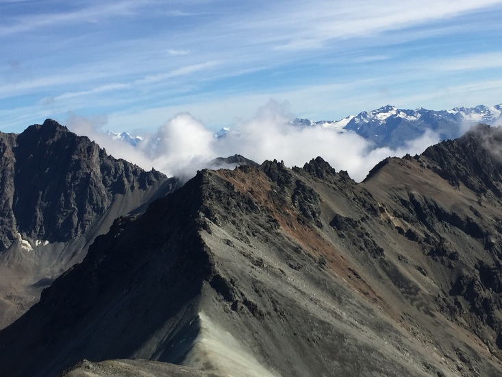
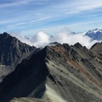
I prefer the old McRoberts Creek trail when climbing Byers. There is a new spur trail off of that one that ascends Lazy Mountain, from which you can trace the ridge to Byers, but it's longer and you miss out on a rewarding hike through the bowl. I just finished my first winter ascent on 2/2/2013. It's hard enough finding your footing in those loose rocks in the summer when there isn't any snow concealing the terrain. It was slow going with the added challenge of snow and ice. 6 hours to the top, another 2.5 to get down. That's a fair bit longer than a summer ascent, but worth every minute.
2013-02-03 |
Click here to submit your own climbing note for Matanuska Peak or Byers Peak
|

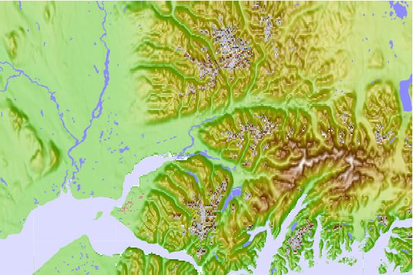
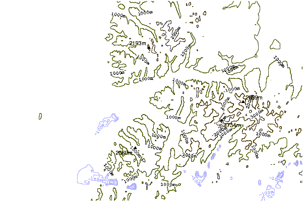
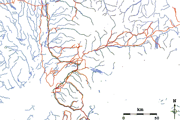
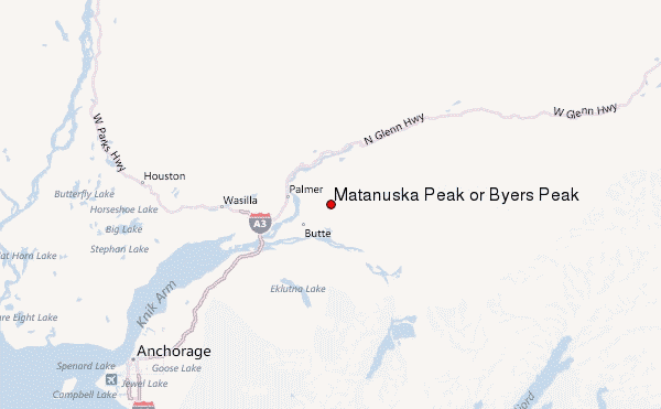
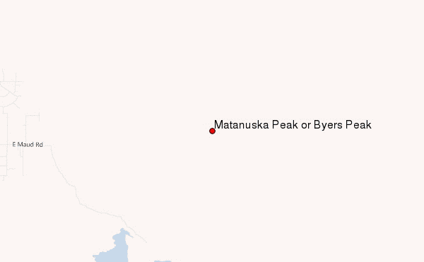
Select Matanuska Peak or Byers Peak Location Map Detail:
Use this relief map to navigate to mountain peaks in the area of Matanuska Peak or Byers Peak.
10 other mountain peaks closest to Matanuska Peak or Byers Peak:
 Matanuska Peak or Byers Peak – Climbing, Hiking & Mountaineering information