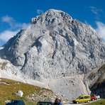
Mangart Guide
- Elevation: 2679
- Difficulty: -
- Best months to climb: -
- Convenient center: -
Mangart climbers Notes
Joanna from UNITED KINGDOM writes:
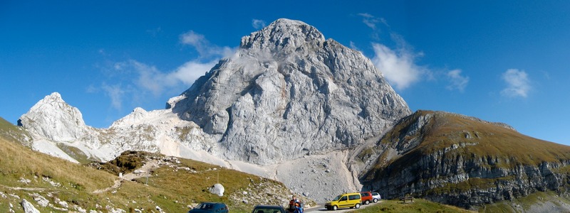
We climbed Mangart on 8/08/2018 from Bivouac Nogara (Via Italiana) and Slovenska Smer with descent via Normala (Italska Smer). Via Italiana is well protected by cables and exposed therefore via ferrata equipment is required. It is fairly short (about an hour towards Sedlo if it's not busy). On the day of the climb, it was busy, many people of different fitness level which created a bottleneck and caused falling stones, especially on Slovenska Smer (helmet absolutely necessary, on both ascent and descent!). Lots of loose rocks on Italska Smer, since rocks are slippery and unstable, great caution is required. Strong wind on descent, towards Sedlo.
2018-08-09 |
Click here to submit your own climbing note for Mangart
|
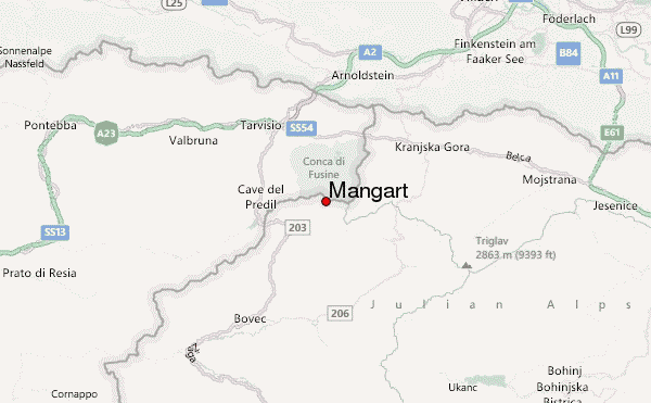
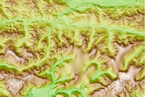
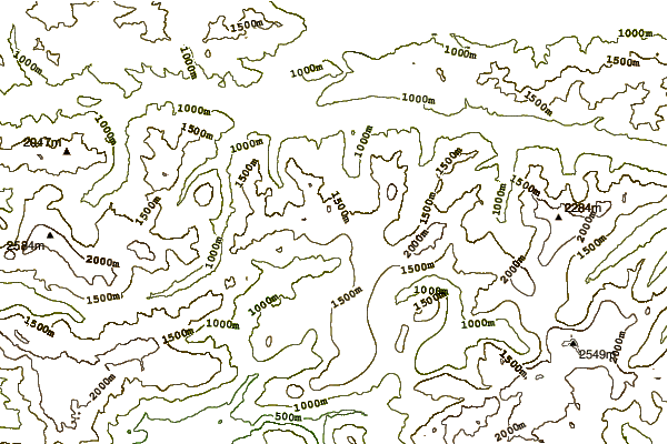
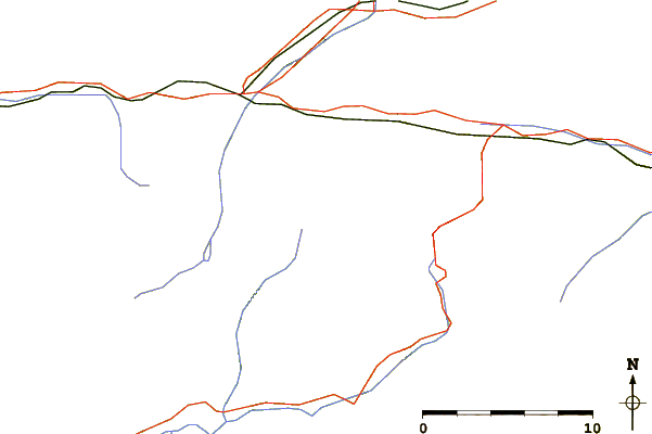
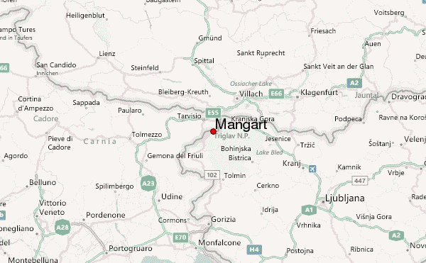
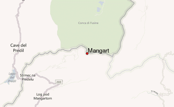
Select Mangart Location Map Detail:
Use this relief map to navigate to mountain peaks in the area of Mangart.
10 other mountain peaks closest to Mangart:
 Mangart – Climbing, Hiking & Mountaineering information