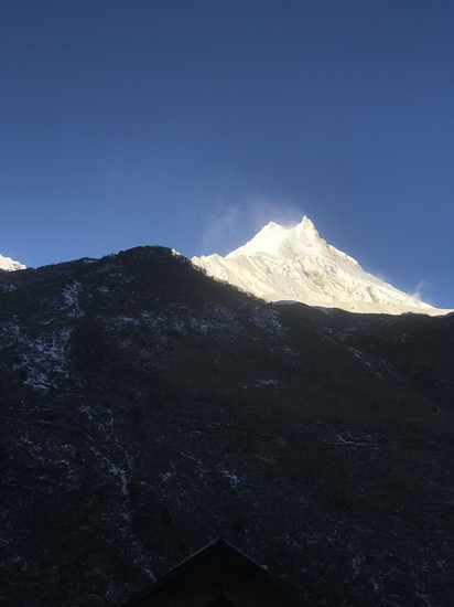
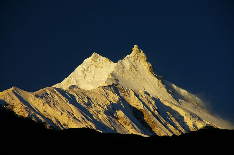
Manaslu (8,163 m), the “Mountain of the Spirit,” is the world’s eighth-highest peak and one of Nepal’s most popular 8,000-m objectives. It is often considered a “safer and more accessible” 8,000-meter climb compared to peaks like K2 or Annapurna, but it remains a serious Himalayan expedition with high altitude, crevasse zones, avalanche risk, and demanding logistics.
Access & Approach
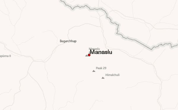
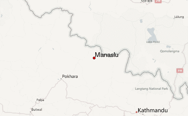
The expedition begins with a drive from Kathmandu to Soti Khola or Machha Khola (depending on road conditions), followed by a multi-day trek up the Budhi Gandaki Valley. The trail passes through subtropical forests and remote Gurung villages such as Jagat, Deng, Namrung, Samagaun, and Samdo.
Accommodation during the approach is in simple teahouses. Rooms are basic, meals are typical Nepali trekking fare, and electricity/Wi-Fi are unreliable. The approach is excellent for acclimatization because it ascends gradually toward Samagaun (~3,500 m), where most teams take acclimatization rest days before moving to Base Camp.
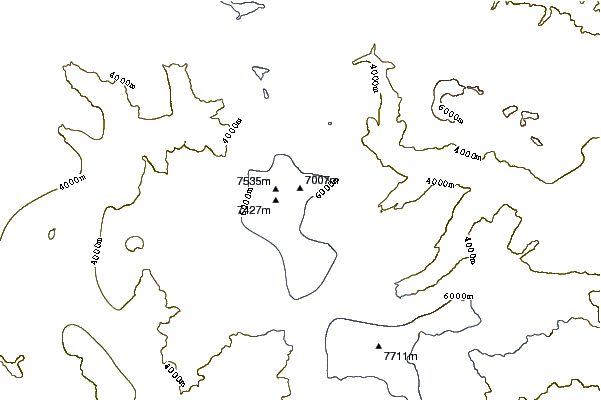
From Samagaun, the trail to Manaslu Base Camp (~4,800–4,900 m) is steep and often snow-covered early in the season. Yaks or porters typically carry gear to Base Camp.
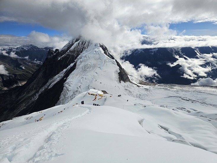
Base Camp & High-Camp Structure
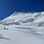
Base Camp is a large glacier-side plateau with plenty of tent platforms. Expeditions usually set up:
personal tents
a dining tent
kitchen and storage tents
communications/charging tent
sometimes a heated mess tent for large teams
Above Base Camp, the classic route (Northeast Face) uses four main high camps:
Camp I (~5,700–5,800 m): Reached by climbing steep moraine and glacier terrain. Crevasses appear early, and ladders may be used depending on conditions.
Camp II (~6,200–6,300 m): A steep climb through serac zones and fixed ropes. This section is exposed to avalanche danger, especially after heavy snowfall.
Camp III (~6,800–6,900 m): A steeper snow climb; tent platforms are carved out of the slope. The weather becomes increasingly harsh here.
Camp IV (~7,400–7,500 m): The final high camp, usually placed on a broad slope. Limited protection from wind; oxygen is often cached here for the summit push.
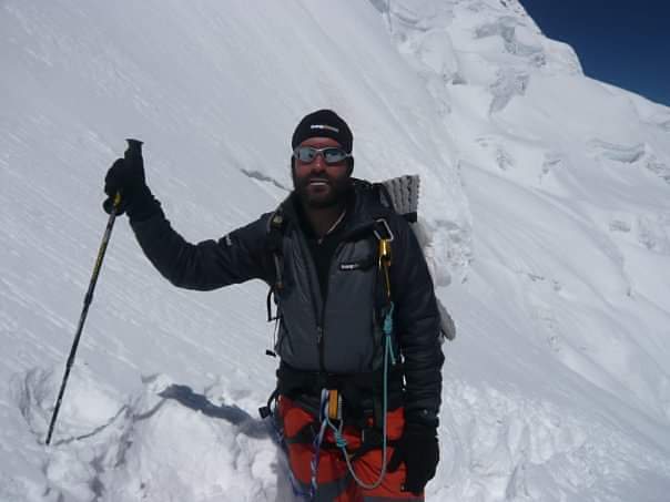
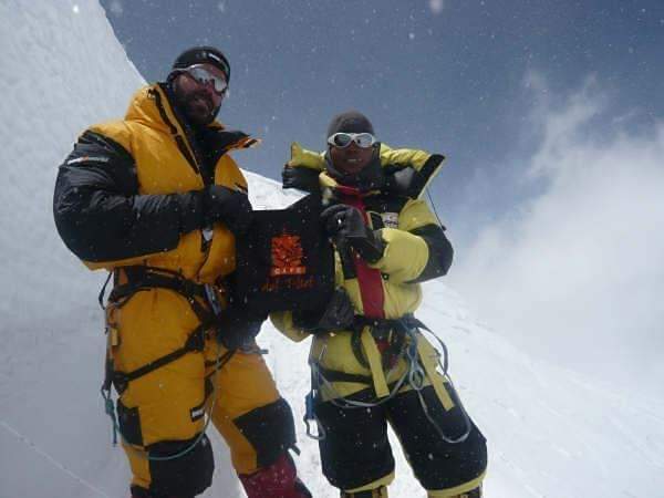
Summit Push
Summit day typically begins around midnight from Camp IV. The route follows steep snow slopes (30–45°), fixed ropes, and long exposed ridges. The final ridge to Manaslu’s true summit is narrow and can be corniced; climbers must move carefully to avoid stepping onto unstable snow.
Summit days typically range from 8 to 14 hours round-trip depending on conditions and oxygen use.
Technical Requirements & Hazards
Manaslu is less technical than peaks like Ama Dablam or K2, but climbers must be proficient with:
crampons and ice axe
fixed-line ascents and descents
glacier travel and crevasse rescue
long-duration high-altitude movement
Major hazards include avalanches, crevasses, serac fall, altitude illness, and severe storms—especially in autumn.
Permits & Logistics
Manaslu requires:
a Manaslu climbing permit
Manaslu Conservation Area Project (MCAP) permit
Restricted Area Permit (for the lower valley)
By law, climbers must be accompanied by a registered Nepali guide. Most join fully supported expeditions offering Sherpa support, oxygen, fixed ropes, tents, meals, and load carrying.
Best Practices
Allow ample acclimatization, choose an experienced expedition operator, monitor avalanche conditions closely, and use supplemental oxygen unless highly experienced at altitude. Weather windows can be short, so teams must move efficiently and minimize time in high-risk zones.
 Manaslu – Climbing, Hiking & Mountaineering information


