– Lat/Long: 43.63° N 121.97° W
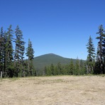
 Maiden Peak – Climbing, Hiking & Mountaineering information

Maiden Peak Guide
- Elevation: 2383
- Difficulty: Scramble
- Best months to climb: June, July, August, September
- Convenient center: -
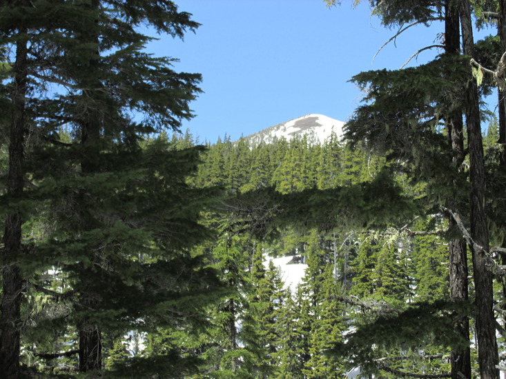
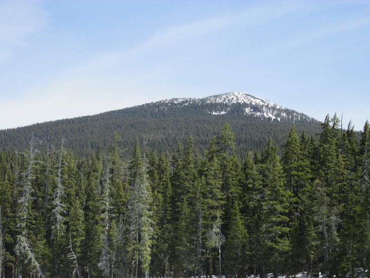
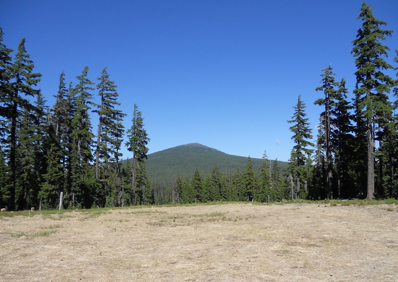
Maiden Peak climbers Notes
|
| Select a
mountain summit from the menu |
||
|
Select a Mountain Summit
|
||
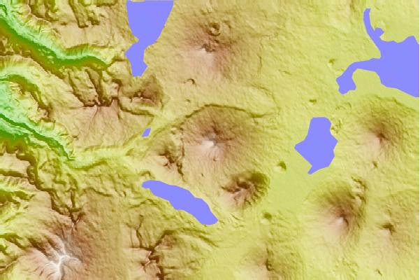
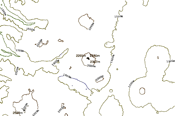
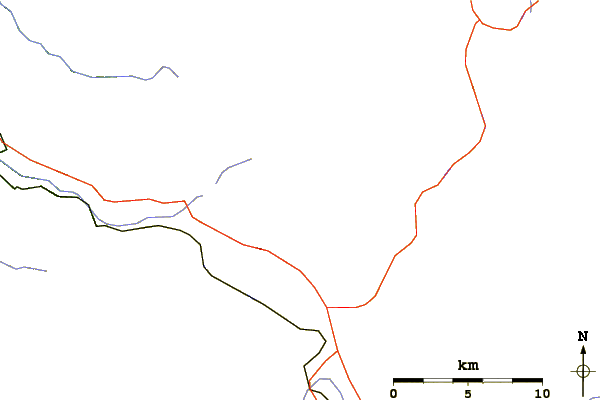
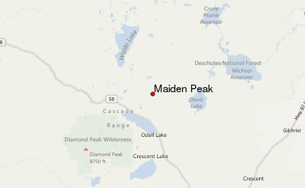
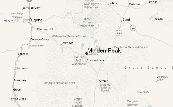
Use this relief map to navigate to mountain peaks in the area of Maiden Peak.
10 other mountain peaks closest to Maiden Peak:
| 1. | Davis Lake (2163 m) | 13.7 km |
| 2. | Mt Yoran (2164 m) | 15.2 km |
| 3. | Diamond Peak (Oregon) (2665 m) | 18.9 km |
| 4. | Odell Butte (2143 m) | 19.6 km |
| 5. | Cultus Mountain (2058 m) | 22.6 km |
| 6. | Cowhorn Mountain (2336 m) | 26.4 km |
| 7. | Williamson Mountain (1906 m) | 34.8 km |
| 8. | Walker Mountain (2158 m) | 41.4 km |
| 9. | Cinnamon Butte (1956 m) | 44.6 km |
| 10. | Mount Bachelor (2764 m) | 45.0 km |