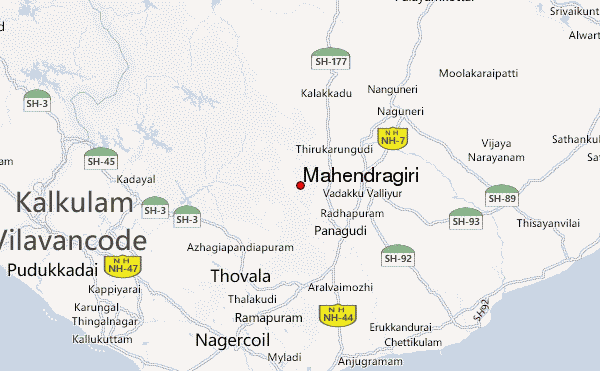
Mahendragiri Guide
- Elevation: 1654
- Difficulty: -
- Best months to climb: -
- Convenient center: -
Mahendragiri climbers Notes
fl0w from INDIA writes:
Ascent from the South Wast face is the easiest. The East face requires climbing equipment.
It is surrounded by thick thorn scrubs for around a KM which can be naviagted through game trails/cattle trails.
The peak is filled wht foliage for around 900 meters and then tapers to a sort of a rocky mesa.
The nearest base in the village Rosemiyapuram, but do not expect to find any accomodation or supplies there. there are several abandoned buildings very close to the base where you can camp overnight.
Doing the ascent in summer is tricky and can leave you severly dehydrated if you do not carry a lot of water.
2012-03-05 |
Click here to submit your own climbing note for Mahendragiri
|
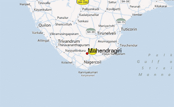
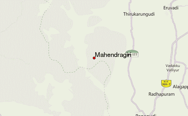
Select Mahendragiri Location Map Detail:
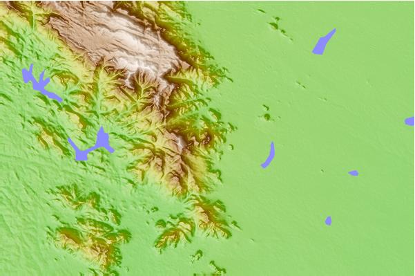
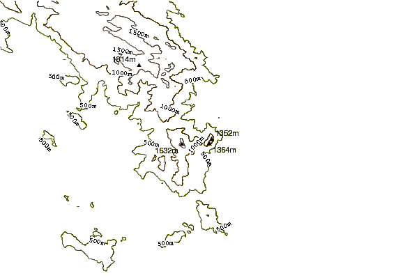
Use this relief map to navigate to mountain peaks in the area of Mahendragiri.
10 other mountain peaks closest to Mahendragiri:
 Mahendragiri – Climbing, Hiking & Mountaineering information