Madeira Guide
- Elevation: 1862
- Difficulty: -
- Best months to climb: -
- Convenient center: -
Madeira climbers Notes
Anders from FINLAND writes:
Hi!
Walking Su 14.11.2021 on Madeira from Pico do Arieeiro to Pico Ruivo and further down to Achada do Teixeira above Santana. Start at 7.30, end ca at 10.
This page suggested clear skies the whole day, but the reality was a tight fog and overcast at least to 11 pm. Same forecast with the very same error was true even on Saturday.
The trip itself wasn´t difficult ´cause it was no rain, but anyway the stones were very slippery and most of the walkers expected the path to be dry. All views of course were missing completely.
On Madeira during November and later, if the wind is from north to northeast, the warm ocean air will condense above a night-cool mountain plateau and give mist, clouds and often rain. This is probably not the case earlier in autumn.
Every forecast holds a risk to be just a guess. On the other hand - every taxi driver on Madeira could have given a better prognosis than presented on this page.
2021-11-14 |
Click here to submit your own climbing note for Madeira
|
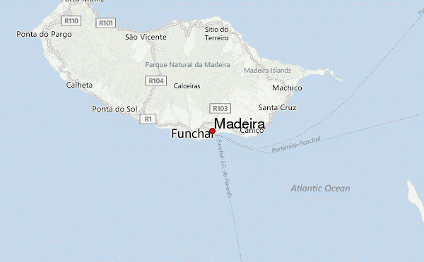
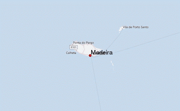
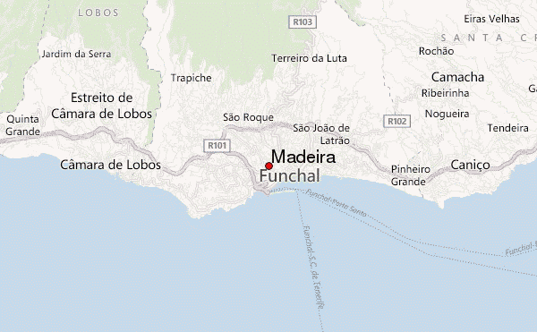
Select Madeira Location Map Detail:
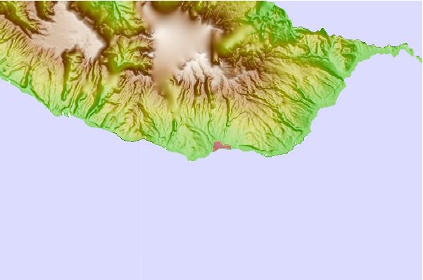
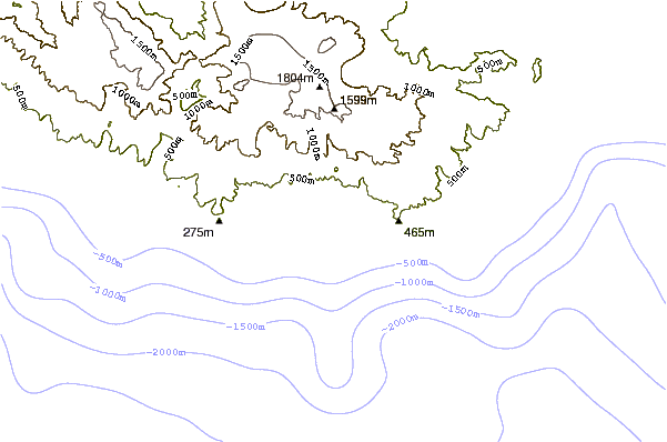
Use this relief map to navigate to mountain peaks in the area of Madeira.
10 other mountain peaks closest to Madeira:
 Madeira – Climbing, Hiking & Mountaineering information