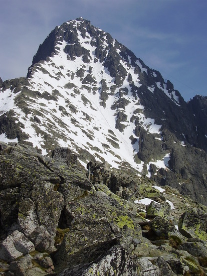
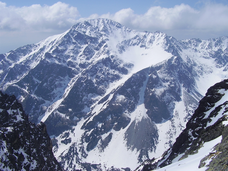
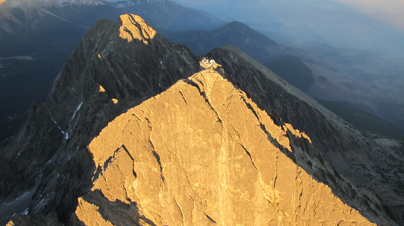
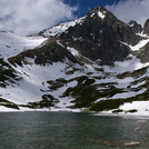
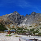
Lomnicky Stit Guide
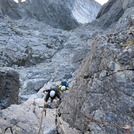
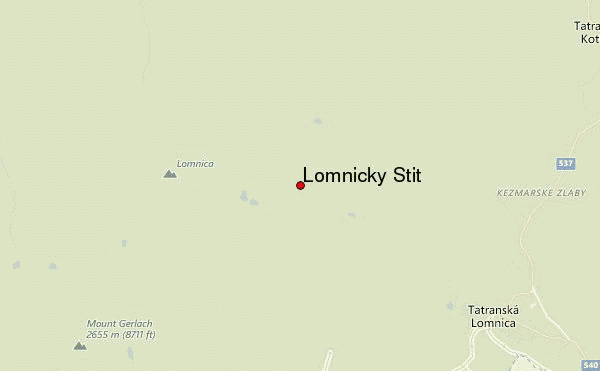
- Elevation: 2633
- Difficulty: Scramble
- Best months to climb: June, July, August, September, October
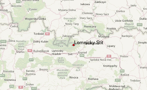
- Convenient center: Tatranska Lomnica , Poprad
Lomnicky Stit climbers Notes
Polish Alpine Club from POLAND writes:
Polish Alpine Club - Polski Klub Alpejski - is a sport association, founded in 2000. Our mission is popularization of mountaineering, organisation of high-mountain expeditions and mountain culture promotion. We organised over 200 expeditions to 5 continents; at that time we were active in the Himalaya Mountains, the Tien Shan, the Pamir Mountains, the High Atlas, the Andes, the Alaska Mountains, the Caucasus Mountains, the Alborz Mountain Range and the Alps.
We organize professional training: Mountain winter tourism, protection against avalanches, alpine climbing and mountaineering in the Tatras.
email: [email protected]
Phone: +48 603847849
2016-03-10 |
Click here to read 5 more climbing notes for Lomnicky Stit or submit your own
|
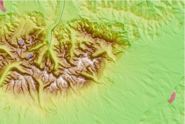
Select Lomnicky Stit Location Map Detail:
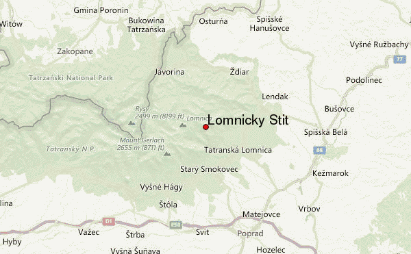
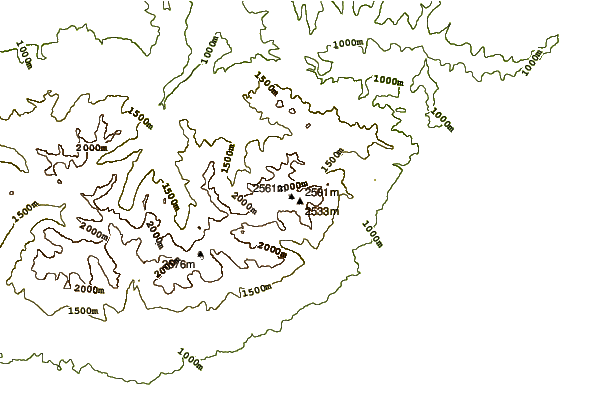
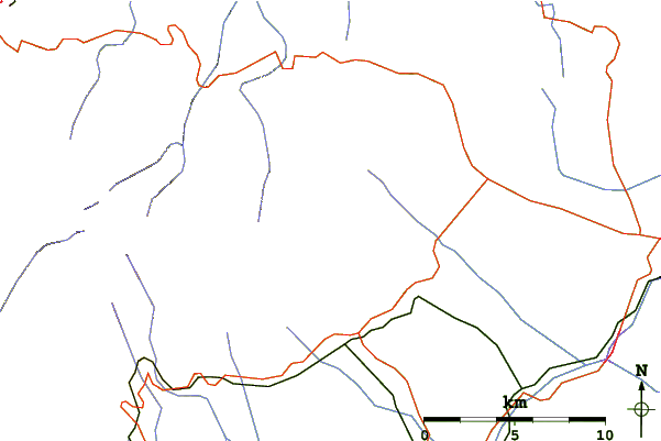
Use this relief map to navigate to mountain peaks in the area of Lomnicky Stit.
10 other mountain peaks closest to Lomnicky Stit:
 Lomnicky Stit – Climbing, Hiking & Mountaineering information


