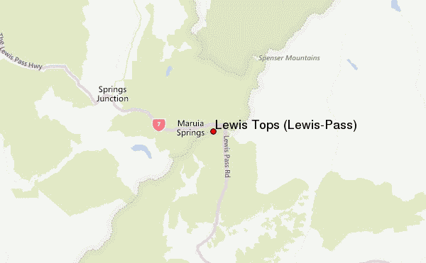
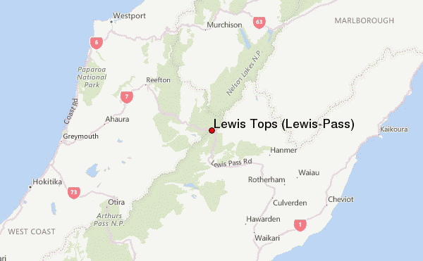
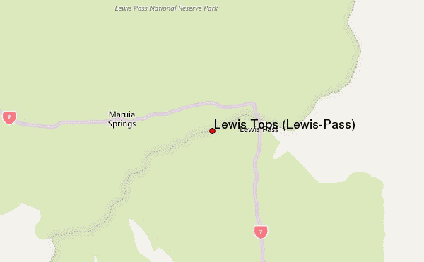
– Lat/Long: 42.38° S 172.38° E
 Lewis Tops (Lewis-Pass) – Climbing, Hiking & Mountaineering information

Lewis Tops (Lewis-Pass) Guide
- Elevation: 1568
- Difficulty: -
- Best months to climb: -
- Convenient center: -
Lewis Tops (Lewis-Pass) climbers NotesBe the first to submit your climbers note! Please submit any useful information about climbing Lewis Tops (Lewis-Pass) that may be useful to other climbers. Consider things such as access and accommodation at the base of Lewis Tops (Lewis-Pass), as well as the logistics of climbing to the summit. |
| Select a
mountain summit from the menu |
||
|
Select a Mountain Summit
|
||
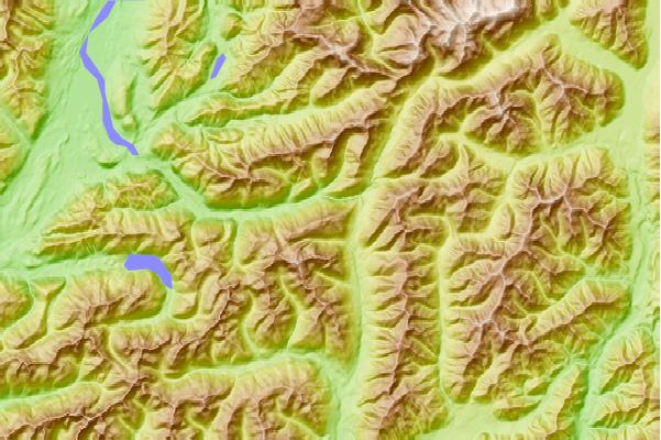
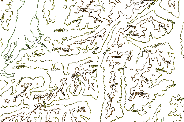
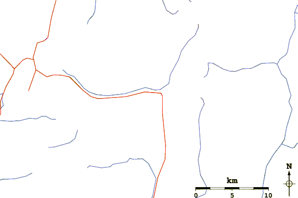
Use this relief map to navigate to mountain peaks in the area of Lewis Tops (Lewis-Pass).
10 other mountain peaks closest to Lewis Tops (Lewis-Pass):
| 1. | Lucretia Hut (918 m) | 5.4 km |
| 2. | Pell Stream Hut (718 m) | 7.3 km |
| 3. | Cannibal Gorge Hut (898 m) | 7.7 km |
| 4. | Rokeby Hut (858 m) | 9.0 km |
| 5. | Nina Hut (760 m) | 10.2 km |
| 6. | Ada Pass Hut (1001 m) | 11.0 km |
| 7. | Kōhanga Atawhai – Manson Nicholls Hut (577 m) | 11.4 km |
| 8. | Boyle Flat Hut (817 m) | 11.4 km |
| 9. | Lake Christabel Hut (681 m) | 11.6 km |
| 10. | Upper Nina Bivvy (818 m) | 12.9 km |