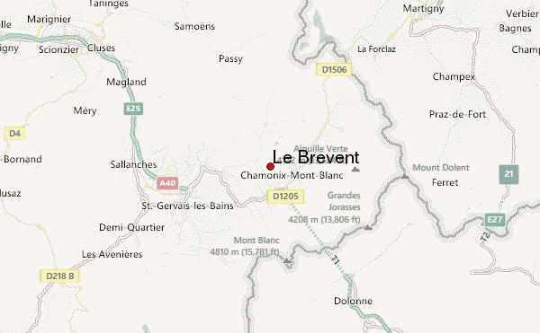
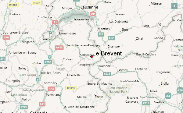
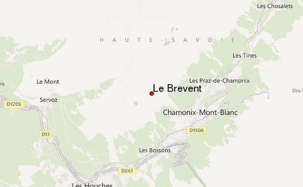
– Lat/Long: 45.93° N 6.84° E
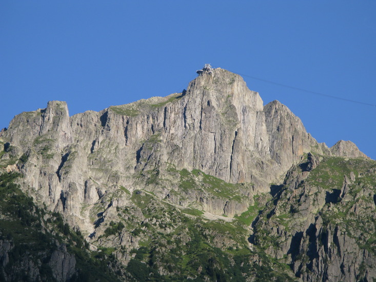
 Le Brévent (Le Brevent) – Climbing, Hiking & Mountaineering information

Le Brévent Guide
- Elevation: 2525
- Difficulty: -
- Best months to climb: -
- Convenient center: -
Le Brévent climbers NotesBe the first to submit your climbers note! Please submit any useful information about climbing Le Brévent that may be useful to other climbers. Consider things such as access and accommodation at the base of Le Brévent, as well as the logistics of climbing to the summit. |
| Select a
mountain summit from the menu |
||
|
Select a Mountain Summit
|
||
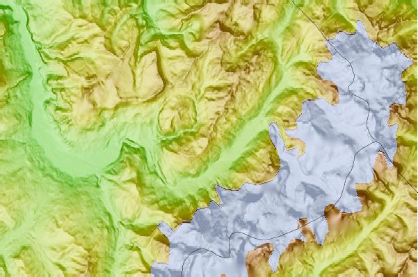
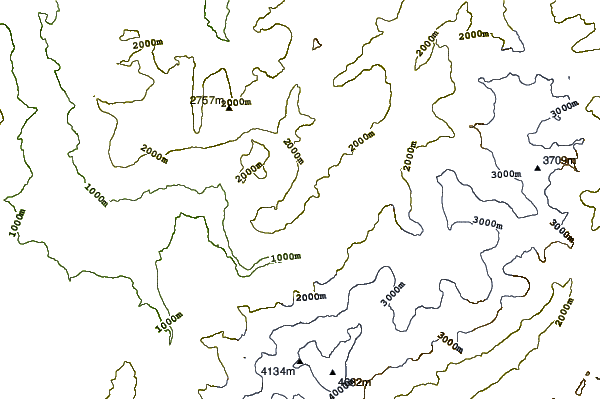

Use this relief map to navigate to mountain peaks in the area of Le Brévent.
10 other mountain peaks closest to Le Brévent:
| 1. | Refuge Moëde Anterne (2000 m) | 5.4 km |
| 2. | Pointe d'Anterne (2733 m) | 6.6 km |
| 3. | Aiguille du Belvédère (2965 m) | 6.6 km |
| 4. | Aiguille de Blaitière (3522 m) | 7.0 km |
| 5. | Aiguille du Plan (3673 m) | 7.1 km |
| 6. | Aiguille des Grands Charmoz (3445 m) | 7.1 km |
| 7. | Grands Mulets Hut (3051 m) | 7.7 km |
| 8. | Cosmiques Hut (3613 m) | 7.7 km |
| 9. | Les Houches Bike Park (1857 m) | 7.8 km |
| 10. | Refuge de l’Envers des Aiguilles (2523 m) | 7.9 km |