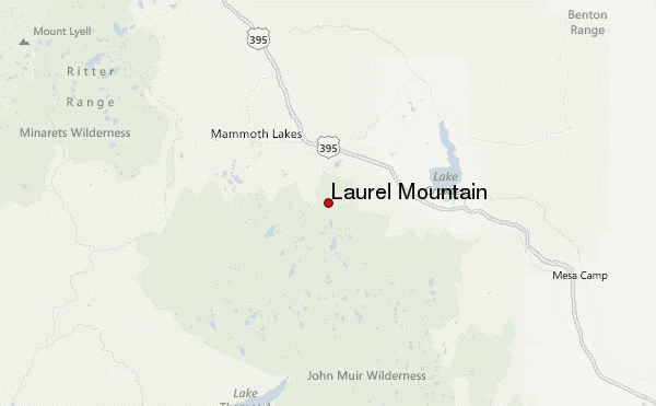
– Lat/Long: 37.58° N 118.89° W
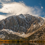
 Laurel Mountain – Climbing, Hiking & Mountaineering information

Laurel Mountain Guide
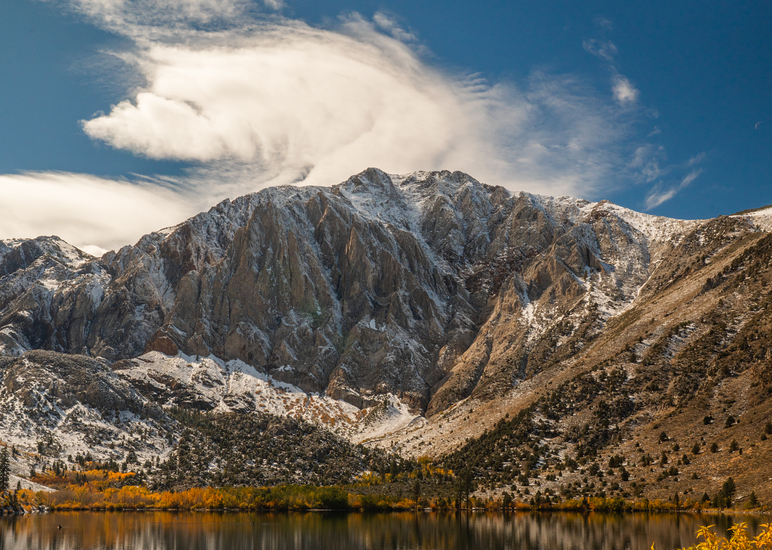
- Elevation: 3600
- Difficulty: Scramble
- Best months to climb: June, July, August, September, October
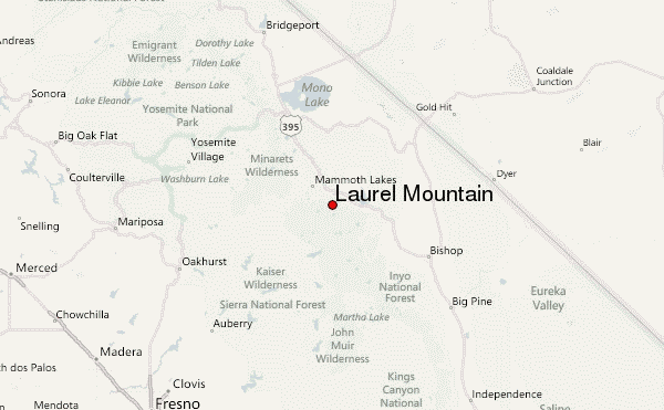
- Convenient center: Mammoth Lakes
Laurel Mountain climbers NotesBe the first to submit your climbers note! Please submit any useful information about climbing Laurel Mountain that may be useful to other climbers. Consider things such as access and accommodation at the base of Laurel Mountain, as well as the logistics of climbing to the summit. |
| Select a
mountain summit from the menu |
||
|
Select a Mountain Summit
|
||
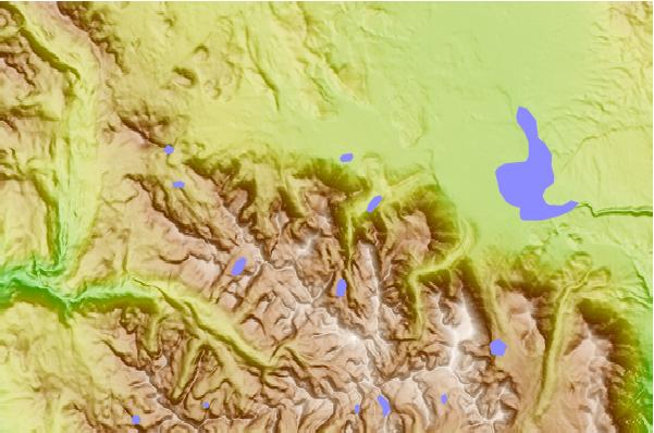
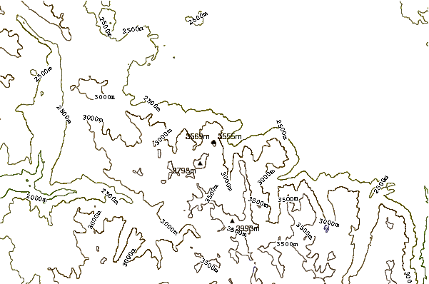
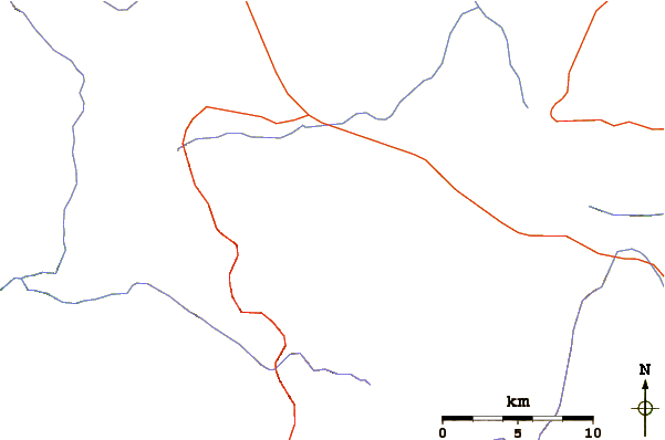
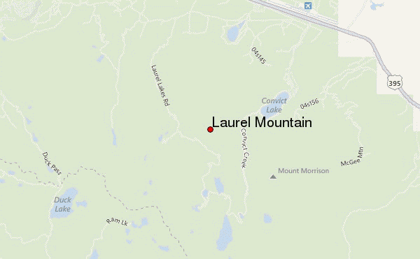
Use this relief map to navigate to mountain peaks in the area of Laurel Mountain.
10 other mountain peaks closest to Laurel Mountain:
| 1. | Mount Morrison (California) (3731 m) | 3.5 km |
| 2. | Red Slate Mountain (4010 m) | 8.3 km |
| 3. | Mount Morgan (Mono County, California) (3960 m) | 12.4 km |
| 4. | Long Valley (3390 m) | 13.4 km |
| 5. | Mammoth Mountain (3369 m) | 13.7 km |
| 6. | Red Cones (2748 m) | 14.1 km |
| 7. | Mammoth Mountain Bike Park (3346 m) | 14.6 km |
| 8. | Mount Hopkins (California) (3750 m) | 14.6 km |
| 9. | Mount Ritter (4006 m) | 15.5 km |
| 10. | Sharktooth Peak (3548 m) | 16.5 km |