Fernando from CHILE writes:
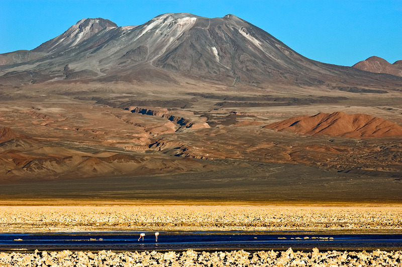
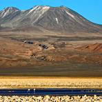
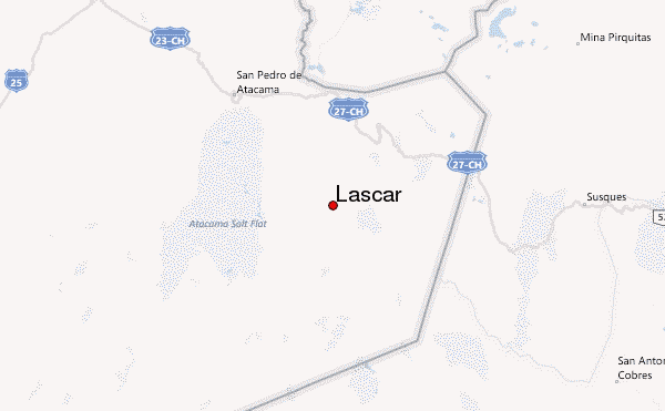
Es facil, rapido y fantastico. Te vas por la cuenca del Salar de Atacama, pasas por pequeños pueblos del altiplano, como Toconao y Talabre, te vas por un paso no habilitado hacia Argentina y llegas al Volcan Lascar. Son pocos los momentos que tiene nieve, siempre esta casi seco y tierra volcanica, te demoras 4 hrs aprox en la ascensión y 3 en descender. En la cima puedes apreciar todo el salar y las lagunas, como tambien ver el crater del volcan como sale la fumarola, si tienes suerte se puede ver el magma. Yo vivo en San Pedro de Atacama, cualquier consulta [email protected]
[It is easy, fast and fantastic. You go through the basin of the Salar de Atacama, you pass through small towns in the highlands, such as Toconao and Talabre, you go for unauthorized crossing to Argentina and get to Volcan Lascar.
There are few times when there is snow; almost always dry, volcanic soil. You take approximately 4 hours for the ascent and 3 hours down. At the top you can see the entire Salar and lagoons as well see the crater of the volcano as it leaves the vent. If you're lucky you can see the magma. I live in San Pedro de Atacama , any consultation [email protected]]
2015-10-13 |
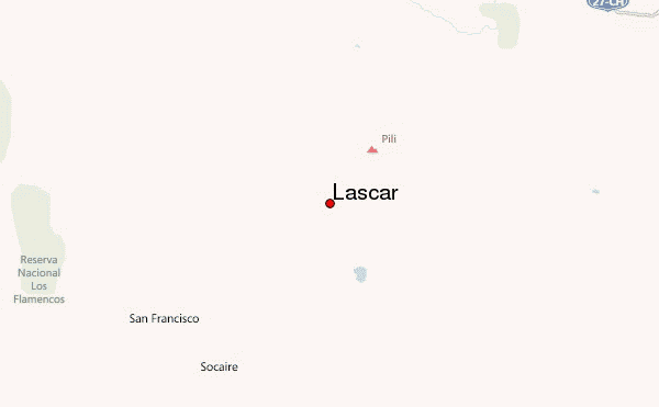
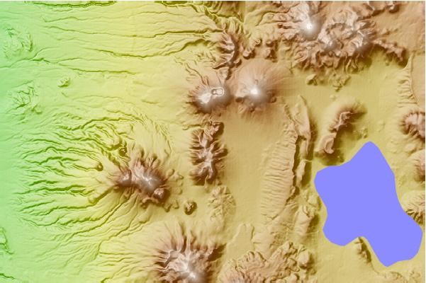
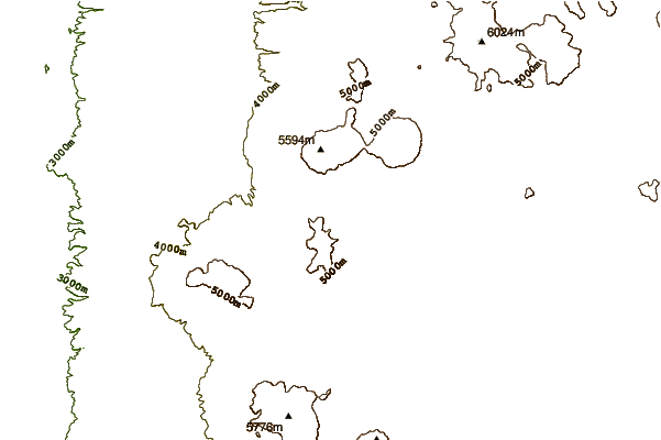
 Lascar – Climbing, Hiking & Mountaineering information
