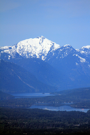
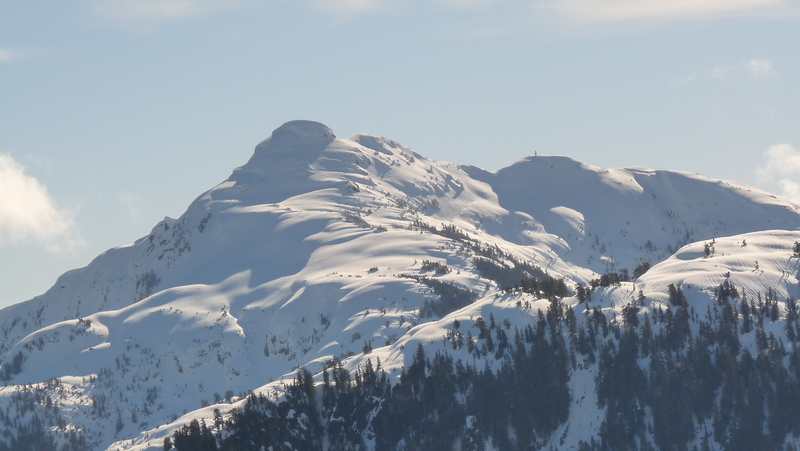
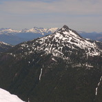
Klitsa Mountain Guide
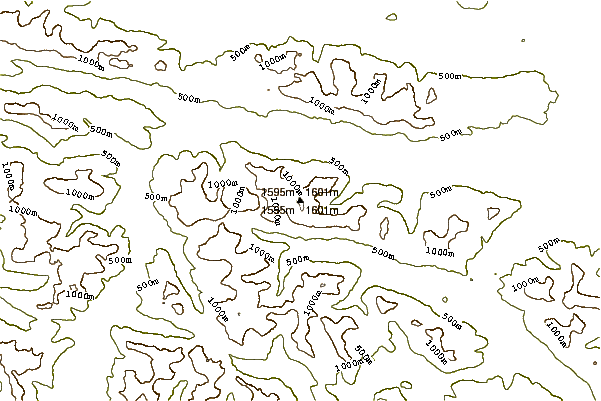
- Elevation: 1639
- Difficulty: -
- Best months to climb: -
- Convenient center: -
Klitsa Mountain climbers Notes
Chris Ruttan from CANADA writes:
Klitsa Mountain can be accessed off two area logging roads, Nahmint Main in the Nahmint River valley or the far end of South Taylor Main just after you cross the Taylor River on the #4 highway to Tofino. To reach Nahmint Main you turn off the #4 highway at the McCoy Lake road and drive along that rural road till you come to a major junction with a gravel logging road, turn left here and drive a short distance to another junction and turn right onto Stirling Arm Main. Drive to the 12 KM mark and look for Gracie Lake Main then turn left onto that road and follow up and over the pass where Gracie Lake is situated then drop down following the same road till you reach Nahmint Main near the 17 KM mark, turn right and drive up the valley staying on the main line that follows and eventually crosses the river at about 23 KM. Continue on for about 5 maybe 6 more KM till just after you cross a small bridge you find a well used road turning right off the main that should be marked N600 they are currently logging in there (Aug 2016)so the road has been reopened and you can drive to the trail head of the Brooke George Trail for the first time in years. The trail is located at a switch back up very high on the mountain side where the road turns out of a good sized creek and is very rough from there on. Search for a trail off the end of the switch back on the short spur that goes into a sort of little shack in the bush. The trail is pretty well marked but pay attention its a fair ways and takes some navigation.
2016-08-03 |
Click here to submit your own climbing note for Klitsa Mountain
|
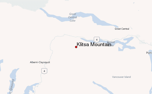
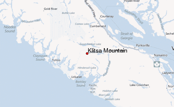
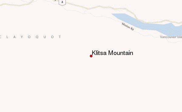
Select Klitsa Mountain Location Map Detail:
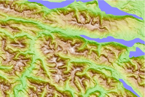
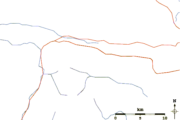
Use this relief map to navigate to mountain peaks in the area of Klitsa Mountain.
10 other mountain peaks closest to Klitsa Mountain:
 Klitsa Mountain – Climbing, Hiking & Mountaineering information
