– Lat/Long: 42.21° N 80.18° E
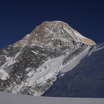
 Khan Tengri – Climbing, Hiking & Mountaineering information

Khan Tengri Guide
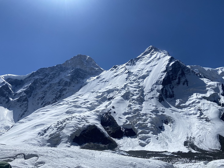
- Elevation: 7010
- Difficulty: Major Mountain Expedition
- Best months to climb: August, September
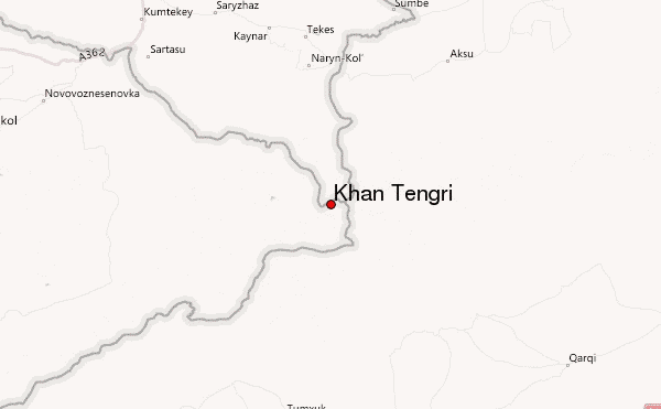
- Convenient center: Bishkek, Kyrgyzstan, Karakol, Kyrgzystan
Khan Tengri climbers NotesBe the first to submit your climbers note! Please submit any useful information about climbing Khan Tengri that may be useful to other climbers. Consider things such as access and accommodation at the base of Khan Tengri, as well as the logistics of climbing to the summit. |
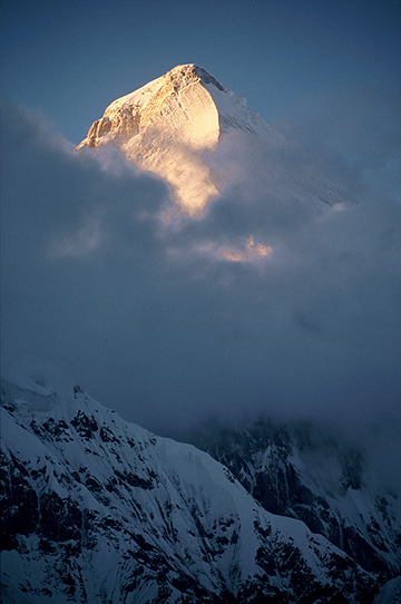
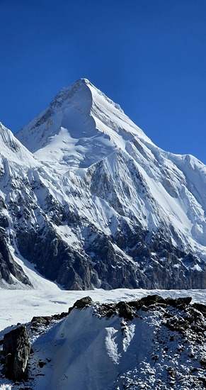
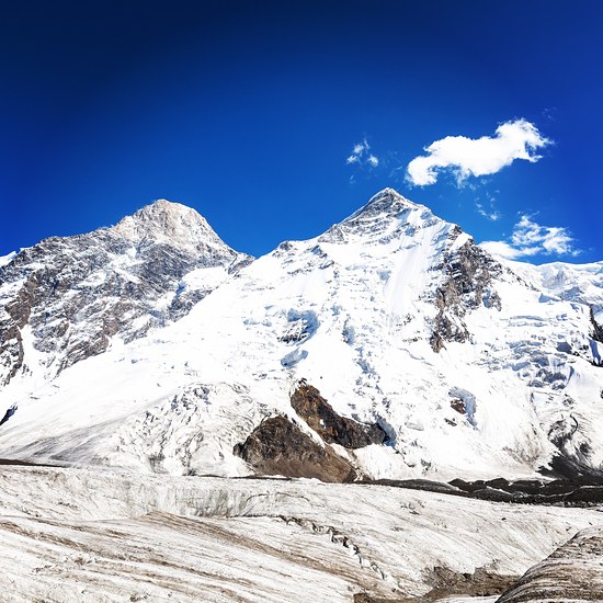
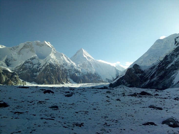
Latest Gallery Images for Khan Tengri

| Select a
mountain summit from the menu |
||
|
Select a Mountain Summit
|
||
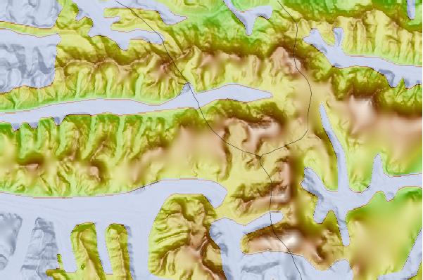
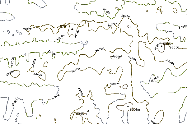
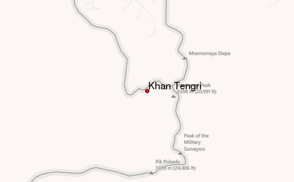
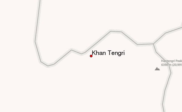
Use this relief map to navigate to mountain peaks in the area of Khan Tengri.
10 other mountain peaks closest to Khan Tengri:
| 1. | Pobedy Peak (7439 m) | 7.1 km |
| 2. | Pik Pobeda (7439 m) | 17.9 km |
| 3. | Jengish Chokusu (7439 m) | 20.0 km |
| 4. | Xuelian Feng, Xuelian Peak or Snow Lotus Peak (6627 m) | 59.2 km |
| 5. | Pik Talgar (5020 m) | 255.3 km |
| 6. | Gora Alagordy (4622 m) | 314.2 km |
| 7. | Vladimir Putin Peak (4446 m) | 495.7 km |
| 8. | Saimaluu Tash (3200 m) | 540.8 km |
| 9. | Chakragil (or Chagragil, Chakar Aghil, Kingata Tagh) (6760 m) | 567.5 km |
| 10. | Kongur (7719 m) | 567.8 km |