– Lat/Long: 61.37° N 163.99° W
 Ingakslugwat Hills – Climbing, Hiking & Mountaineering information

Ingakslugwat Hills Guide
- Elevation: 190
- Difficulty: -
- Best months to climb: -
- Convenient center: -
Ingakslugwat Hills climbers NotesBe the first to submit your climbers note! Please submit any useful information about climbing Ingakslugwat Hills that may be useful to other climbers. Consider things such as access and accommodation at the base of Ingakslugwat Hills, as well as the logistics of climbing to the summit. |
| Select a
mountain summit from the menu |
||
|
Select a Mountain Summit
|
||
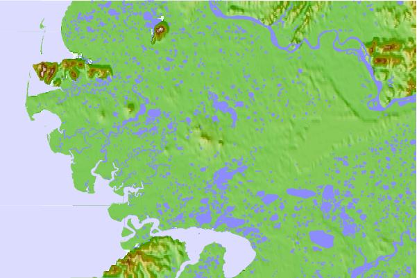
Use this relief map to navigate to mountain peaks in the area of Ingakslugwat Hills.
10 other mountain peaks closest to Ingakslugwat Hills:
| 1. | St. Michael volcanic field (715 m) | 250.7 km |
| 2. | Army Peak (512 m) | 357.9 km |
| 3. | Mount Osborn (1437 m) | 408.8 km |
| 4. | Kookooligit Mountains (673 m) | 413.6 km |
| 5. | Mount Bendeleben (1137 m) | 423.5 km |
| 6. | Imuruk Lake volcanic field (610 m) | 470.8 km |
| 7. | Mount Hesperus (Alaska) (2995 m) | 522.9 km |
| 8. | Mount Neacola (2873 m) | 572.9 km |
| 9. | Ukinrek Maars (91 m) | 575.3 km |
| 10. | Mount Ugashik-peulik (1474 m) | 588.2 km |