– Lat/Long: 46.43° N 14.18° E
 Hochstuhl – Climbing, Hiking & Mountaineering information

Hochstuhl Guide
- Elevation: 2236
- Difficulty: Scramble
- Best months to climb: June, July, August, September
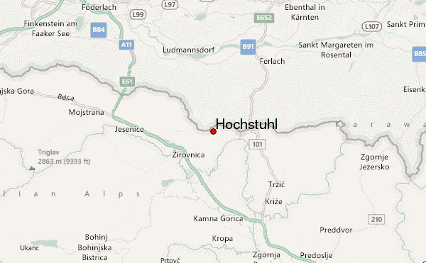
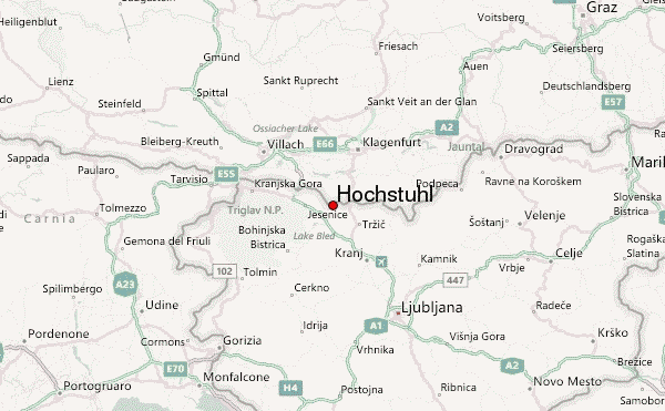
- Convenient center: Ferlach
Hochstuhl climbers NotesBe the first to submit your climbers note! Please submit any useful information about climbing Hochstuhl that may be useful to other climbers. Consider things such as access and accommodation at the base of Hochstuhl, as well as the logistics of climbing to the summit. |
| Select a
mountain summit from the menu |
||
|
Select a Mountain Summit
|
||
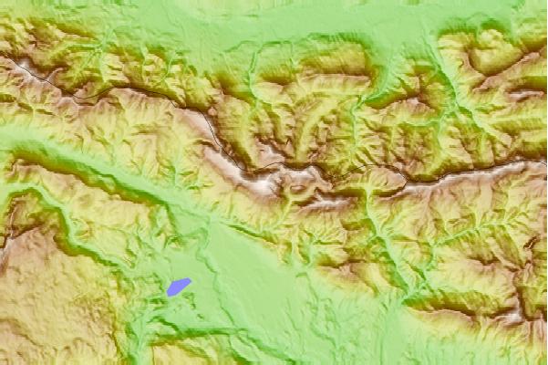
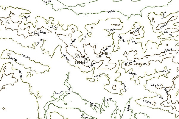
Use this relief map to navigate to mountain peaks in the area of Hochstuhl.
10 other mountain peaks closest to Hochstuhl:
| 1. | Prešernova Koča Na Stolu (2174 m) | 0.7 km |
| 2. | Stol (mountain) (2236 m) | 0.7 km |
| 3. | Klagenfurter Hütte (1664 m) | 1.5 km |
| 4. | Dom Pri Izviru Završnice (1425 m) | 2.7 km |
| 5. | Roblekov Dom Na Begunjščici (1657 m) | 2.8 km |
| 6. | Valvasorjev Dom Pod Stolom (1181 m) | 2.9 km |
| 7. | Planinski Dom Na Zelenici (1536 m) | 3.9 km |
| 8. | Koča Na Ljubelju (1369 m) | 6.4 km |
| 9. | Dom Pristava V Javorniškem Rovtu (975 m) | 7.4 km |
| 10. | Koča Na Dobrči (1478 m) | 8.0 km |