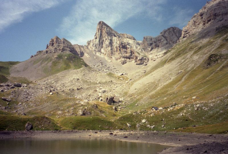
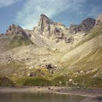
Hiru Erregeen Mahaia Guide
- Elevation: 2428
- Difficulty: -
- Best months to climb: -
- Convenient center: -
Hiru Erregeen Mahaia climbers Notes
Rafa Bartolomé from SPAIN writes:
Normal route: from Plano de la Casa-Refugio de Linza (1.330m) with access by car from Zuriza. We follow a good path to Collado de Linza ( 1.936 m ) where we leave the route of Petrechema (right) turning to left to Hoya de la Solana turning under the ridge to col escoueste. Before the col the summit is in left side with two options of access:
-direct ridge (F+)
-easier across right side(F)
2015-10-02 |
Click here to submit your own climbing note for Hiru Erregeen Mahaia
|
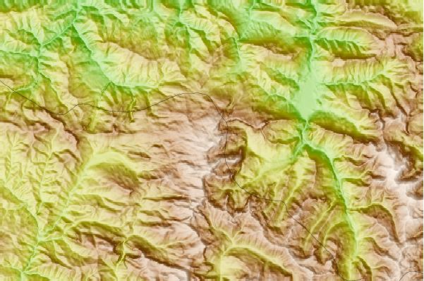
Select Hiru Erregeen Mahaia Location Map Detail:
Use this relief map to navigate to mountain peaks in the area of Hiru Erregeen Mahaia.
10 other mountain peaks closest to Hiru Erregeen Mahaia:
 Hiru Erregeen Mahaia – Climbing, Hiking & Mountaineering information