– Lat/Long: 37.92° S 178.06° E
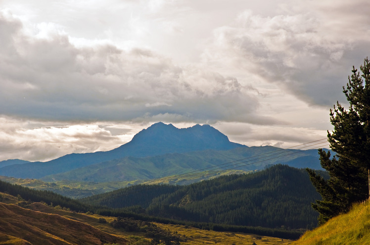
 Hikurangi
Weather Forecast, New ZealandIssued: 11 pm Mon 03 Aug Local TimeUpdates in: hr min sUpdate imminent
Issued: 11 pm Mon 03 Aug Local Time
Updates in:
Update imminent hr min s

Issued: 11 pm Mon 03 Aug Local Time
Updates in:
Update imminent hr min s
Days 1–4 Weather SummaryA dusting of new snow. Freeze-thaw conditions (max 4°C on Mon night, min -8°C on Tue night). Winds decreasing (severe gales from the S on Wed morning, light winds from the SSW by Thu morning). | Days 5–7 Weather SummaryA dusting of snow. Milder later with heavy rain (total 24mm) on Sun morning. Freeze-thaw conditions (max 3°C on Fri night, min -3°C on Thu night). Mainly near gales. | |||||||||||||||
Tuesday 4 | Wednesday 5 | Thursday 6 | Friday 7 | Saturday 8 | ||||||||||||
night | AM | PM | night | AM | PM | night | AM | PM | night | AM | PM | night | AM | PM | night | |
clear | cloudy | some clouds | snow shwrs | snow shwrs | some clouds | some clouds | clear | clear | clear | clear | clear | clear | some clouds | cloudy | light snow | |
Cloud base (m) | 550 | 800 | 550 | 700 | 600 | 600 | 600 | 650 | 1000 | 8100 | 6800 | 600 | 950 | 650 | ||
km/h | ||||||||||||||||
 |  |  |  |  |  | |||||||||||
— | — | — | 1 | 1 | — | — | — | — | — | — | — | — | — | — | 3 | |
mm | — | — | — | — | — | — | — | — | — | — | — | — | — | — | — | — |
max °C | 4 | -2 | -5 | -7 | -6 | -5 | -5 | -4 | -3 | -1 | 0 | 1 | 3 | 3 | 1 | 2 |
min °C | -1 | -3 | -7 | -8 | -7 | -6 | -5 | -4 | -3 | -3 | 0 | 1 | 2 | 1 | 0 | 1 |
chill °C | -9 | -10 | -18 | -20 | -20 | -16 | -15 | -11 | -8 | -9 | -4 | -3 | -2 | -4 | -6 | -6 |
Freezing level m | 2200 | 1350 | 950 | 350 | 700 | 950 | 850 | 1050 | 1300 | 1100 | 1750 | 1950 | 2250 | 2250 | 1800 | 1950 |
— | 7:05 | — | — | 7:05 | — | — | 7:03 | — | — | 7:03 | — | — | 7:01 | — | — | |
— | — | 5:22 | — | — | 5:22 | — | — | 5:22 | — | — | 5:23 | — | — | 5:24 | — | |
Loading...
Hikurangi Weather (Days 0-3):
The weather forecast for Hikurangi is: A dusting of new snow. Freeze-thaw conditions (max 4°C on Mon night, min -8°C on Tue night). Winds decreasing (severe gales from the S on Wed morning, light winds from the SSW by Thu morning).
Hikurangi Weather (Days 3-6):
A dusting of snow. Milder later with heavy rain (total 24mm) on Sun morning. Freeze-thaw conditions (max 3°C on Fri night, min -3°C on Thu night). Mainly near gales.
This table gives the weather forecast for Hikurangi at the specific elevation of 1754 m. Our advanced weather models allow us to provide distinct weather forecasts for several elevations of Hikurangi. To see the weather forecasts for the other elevations, use the tab navigation above the table. For a wider overview of the weather, consult the Weather Map of New Zealand.