– Lat/Long: 2.03° N 98.93° E
 Helatoba-tarutung – Climbing, Hiking & Mountaineering information

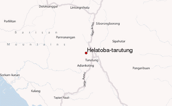
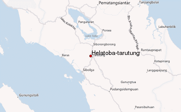
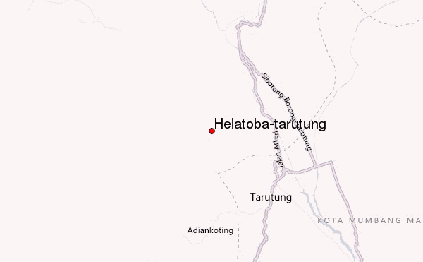
Helatoba-tarutung Guide
- Elevation: 1100
- Difficulty: -
- Best months to climb: -
- Convenient center: -
Helatoba-tarutung climbers NotesBe the first to submit your climbers note! Please submit any useful information about climbing Helatoba-tarutung that may be useful to other climbers. Consider things such as access and accommodation at the base of Helatoba-tarutung, as well as the logistics of climbing to the summit. |
| Select a
mountain summit from the menu |
||
|
Select a Mountain Summit
|
||
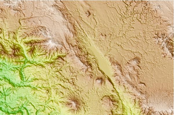
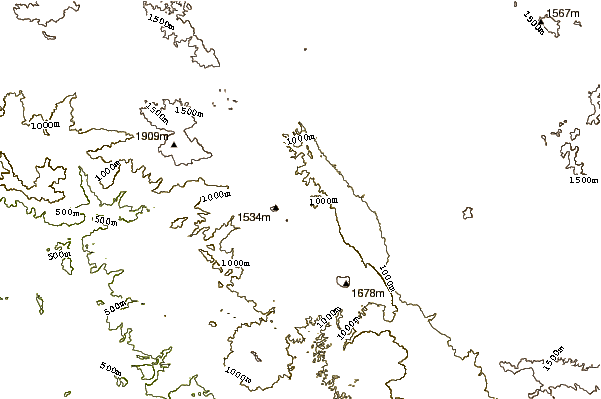
Use this relief map to navigate to mountain peaks in the area of Helatoba-tarutung.
10 other mountain peaks closest to Helatoba-tarutung:
| 1. | Imun (1505 m) | 14.2 km |
| 2. | Toba (2157 m) | 62.2 km |
| 3. | Bual Buali (1819 m) | 62.4 km |
| 4. | Lubukraya (1862 m) | 68.8 km |
| 5. | Sinabung (2460 m) | 140.3 km |
| 6. | Gunung Sinabung (2451 m) | 140.3 km |
| 7. | Sibayak (2212 m) | 140.7 km |
| 8. | Sorikmarapi (2145 m) | 164.0 km |
| 9. | Mount Kembar (2245 m) | 246.6 km |
| 10. | Talakmau (2912 m) | 246.7 km |