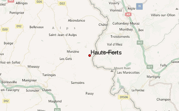
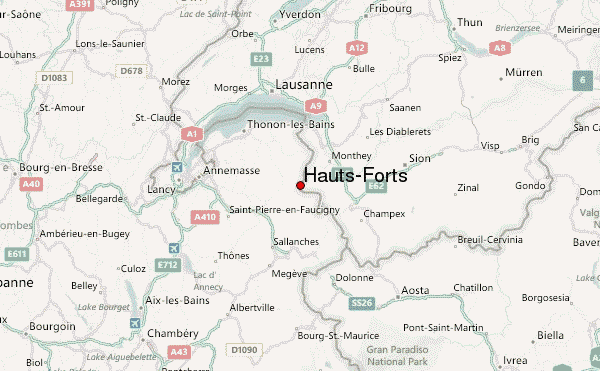
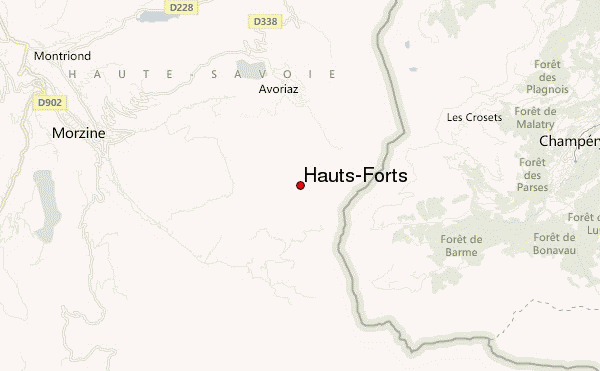
– Lat/Long: 46.17° N 6.78° E
 Hauts-Forts – Climbing, Hiking & Mountaineering information

Hauts-Forts Guide
- Elevation: 2466
- Difficulty: -
- Best months to climb: -
- Convenient center: -
Hauts-Forts climbers Notes
|
| Select a
mountain summit from the menu |
||
|
Select a Mountain Summit
|
||
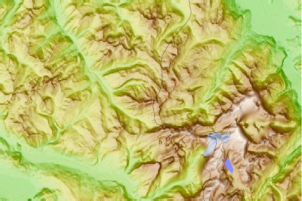
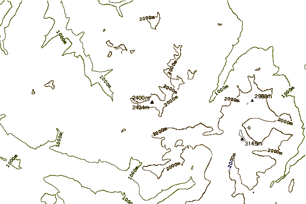
Use this relief map to navigate to mountain peaks in the area of Hauts-Forts.
10 other mountain peaks closest to Hauts-Forts:
| 1. | Chalet des Mines d'Or (1390 m) | 2.3 km |
| 2. | Gîte de Chardonnière (1352 m) | 3.2 km |
| 3. | Refuge de Chaux Palin (1846 m) | 3.9 km |
| 4. | Refuge de Chésery (1982 m) | 4.1 km |
| 5. | Avoriaz MTB (2120 m) | 4.1 km |
| 6. | Pointe de Chésery (2249 m) | 4.4 km |
| 7. | Refuge de la Golèse (1650 m) | 4.5 km |
| 8. | Bikepark Les Crosets (2154 m) | 4.7 km |
| 9. | Cantine des Dents Blanches (1494 m) | 4.8 km |
| 10. | Cantine de Barmaz (1491 m) | 4.9 km |